(WAND) - Our spring preview continues this week.
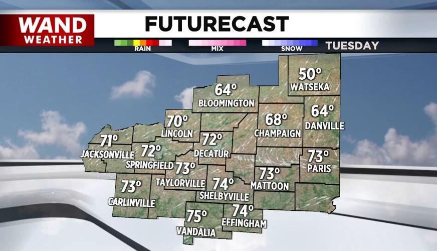
After much of central Illinois reached the low-70s Monday, we'll warm to the low-70s again today and tomorrow with plenty of sunshine.
WANDWx
A cold front will drop through late this afternoon into the evening hours and temperatures will fall off quickly and bottom out in the upper-30s tonight.

More sunshine is expected Thursday with highs in the mid-70s.
Friday will be the warmest day of the week with record or near record highs close to 80°.
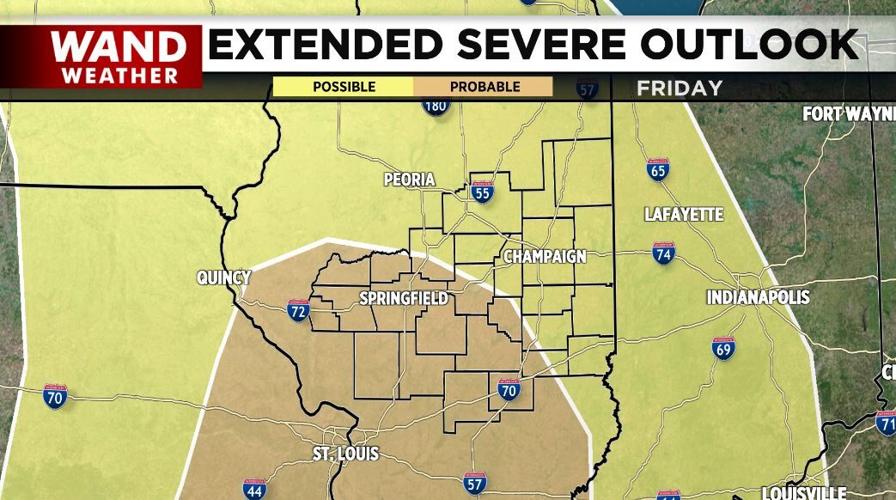
The threat of severe weather is increasing for Friday evening and Friday night. While all of us could see severe storms, days out, the highest threat is across the western hometowns from Decatur southwestward. Definitely keep up on the latest forecast this week.
It turns cooler Saturday with highs in the 60s and much cooler Sunday with highs around 50°.
Meteorologist Anthony Peoples
Copyright 2025 WAND TV. All rights reserved.


