


DECATUR, IL. (WAND) - Happy Sunday, March, and meteorological spring! March comes in with a mix of wintry weather and potentially severe weather before the end of the week.

Clouds are gradually building in today, and between overcast skies and cooler air behind yesterday’s cold front, highs will top off in the low 40s. Winds pick up this afternoon ahead of the next disturbance, which arrives tonight.

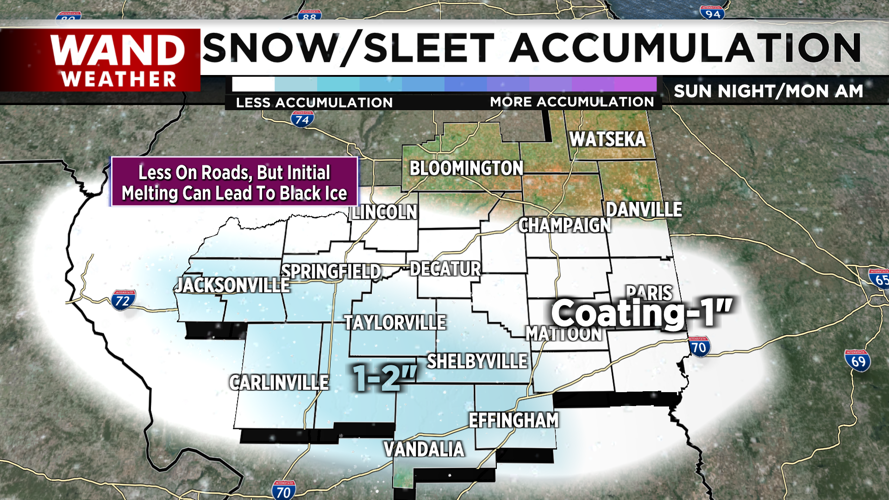
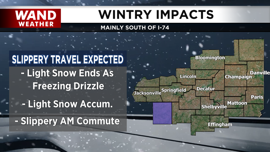
A mix of light snow, sleet, and rain arrives overnight. This will taper off before daybreak tomorrow and will likely end as freezing drizzle. While light accumulations will be possible, the main concern will be slippery conditions by Monday morning. Expect patchy black ice between the freezing drizzle and melting snow.

Tomorrow will be a quiet and cloudy day, however heavy rain and thunderstorms are on tap for midweek.
Copyright 2026. WANDTV. All Rights Reserved.


