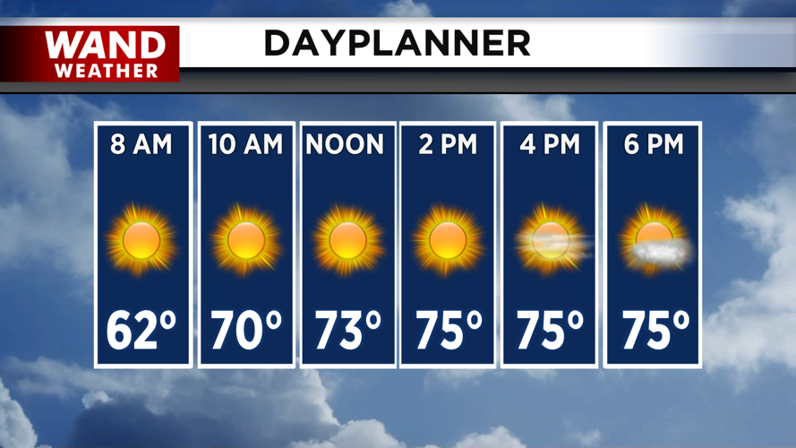


DECATUR, IL. (WAND) - If you're looking for the perfect day to spend time outside, Thursday is your day. A high-pressure system settling over the Midwest will bring picture-perfect conditions to Central Illinois with plenty of sunshine, comfortable temperatures, and low humidity.
Temperatures will climb from the 50s this morning into the mid to upper 70s this afternoon — ideal for outdoor activities. The low humidity and dewpoints staying in the 50s will make it feel even more pleasant.
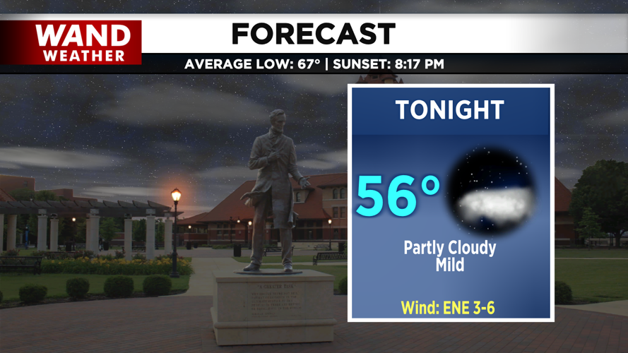
Overnight, temperatures will cool quickly, dropping back into the 50s by early Friday morning.
Friday: Light Rain Possible, Especially Southwest
Friday will bring a change as a warm front moves in from the south, increasing rain chances during the afternoon. Most of the rain will be very light or won't even reach the ground, but we can't rule out some heavier showers across our southwestern counties. Keep an eye on conditions if you're in that area.
Despite the clouds, temperatures will stay mild, with highs in the 70s Friday afternoon.
The Heat is Coming
The real story begins this weekend. Saturday will see temperatures jump into the mid to upper 80s as moisture starts to increase, but that's just a preview of what's coming.
Sunday and Monday will bring a pronounced mid-summer heat surge. Daytime highs are expected to reach the lower to middle 90s, but the heat index — what it will actually feel like — is the bigger concern. With rich Gulf moisture pushing dewpoints into the upper 70s, heat indices are projected to approach 105°F across both days.
Storm chances are possible Sunday night into Monday morning, but it's too early to tell how strong or widespread they could be. We'll have updates as the system gets closer.
Copyright 2026. WANDTV. All Rights Reserved.


