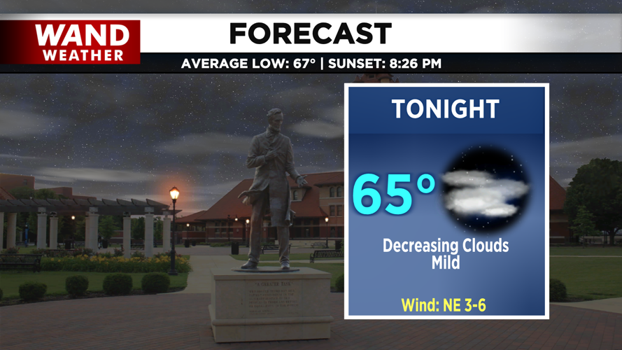
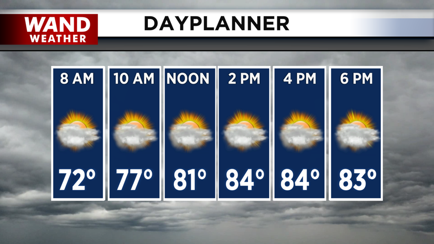


DECATUR, IL. (WAND) - Happy Tuesday! There were a few storms yesterday that produced some heavy rainfall around the region. Dry conditions will hang around for the next few days, giving us a break from the rain. It will be a seasonable stretch for most of Central Illinois with temperatures warming up close to average in the upper mid to upper 80s.
The humidity will be tolerable today with mostly cloudy skies. Feels-like temperatures will hover around the upper 80s and low 90s. Wednesday will feature more sunshine and slightly warmer temperatures in the upper 80s. The humidity will ramp up overnight Wednesday into Thursday morning. The heat index will climb into the 90s for Thursday afternoon.
Unsettled weather will return on Thursday evening. Storm chances will ramp up with the heat and humidity. Heavy rain is expected overnight into Friday morning. There is a marginal (level 1 out of 5) risk for severe storms from late Thursday into Friday morning. Flooding will be the main concern, but strong wind gusts can’t be ruled out.
Looking ahead
The weekend is looking hot and humid with temperatures warming into the mid-80s on Saturday and Sunday afternoon. The heat index will be in the 90s through the weekend, and overall, this is right where we should be for this time of year.
Copyright 2026. WANDTV. All Rights Reserved.