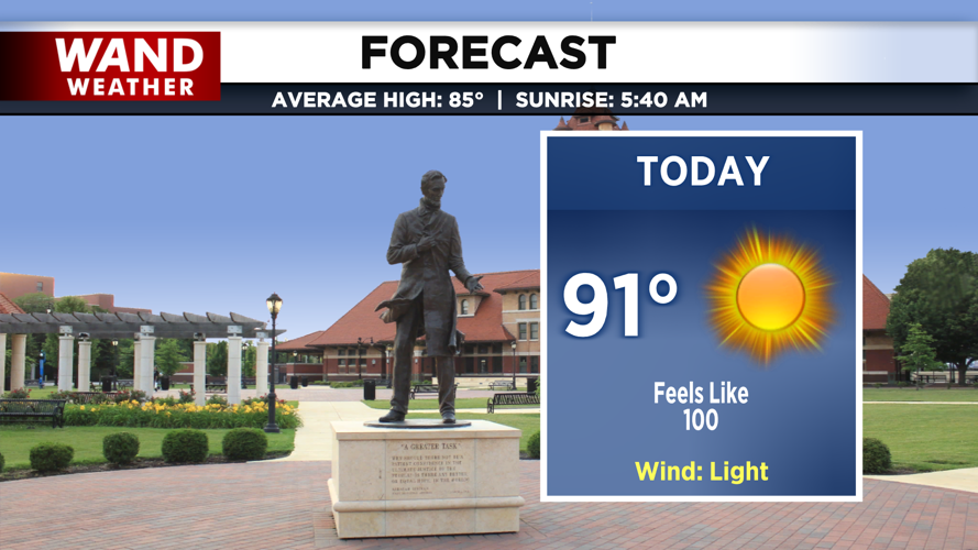


DECATUR, IL. (WAND) - Another hot, sunny, and humid day is on tap for Central Illinois as a heat wave continues to grip the region through at least Saturday.
Afternoon heat index readings will climb between 95 and 104 degrees through the weekend, making it feel dangerously hot outside. The combination of high temperatures and moisture in the air will make it feel much hotter than the actual temperature.
Slight Storm Chance Thursday, Better Chance Friday
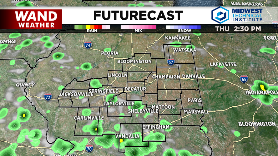
A weak disturbance moving into the region will bring a 20-30% chance of showers and thunderstorms Thursday afternoon into Thursday night. While most of the area will stay dry, an isolated storm cannot be ruled out.
The better chance for rain arrives Friday, when a 60-80% chance of showers and thunderstorms is expected, especially during the afternoon hours. The National Weather Prediction Center has issued a marginal risk of excessive rainfall over Central Illinois on Friday as a weak upper-level disturbance moves across the state.
Saturday will also see chances for showers and thunderstorms, particularly over eastern Illinois in the afternoon. Another hot and humid day is expected Saturday with highs in the lower 90s and afternoon heat index readings around or just above 100 degrees.
Cooler temperatures in the mid-80s should return next week, with a chance of even cooler temperatures by next weekend.
Watch for Patchy Fog Early Wednesday and Thursday
Patchy shallow ground fog is already developing across Central Illinois as temperatures cool to near the dew point levels in the upper 60s to around 70 degrees. The fog could become locally dense in spots, especially south of I-74 to along I-72.
Fog should lift quickly by mid-morning Wednesday, similar to recent mornings. Additional patchy fog may redevelop Wednesday night into early Thursday morning.
Copyright 2026. WANDTV. All Rights Reserved.


