


DECATUR, Ill. (WAND) - 'Tis the season for severe weather. After a couple quiet days, the next storm is in sight and barreling our way.
This weekend starts off with seasonable weather. The average high and low temperatures for this time of year are 50 and 32, respectively. Friday night will be close to the freezing mark. Saturday will be just above 50.
Speaking of Saturday, that's the seasonable day. Clouds may win out over the amount of sun, and it will be breezy. However, it's a dry day; great for enjoying any early St Patrick's festivities.
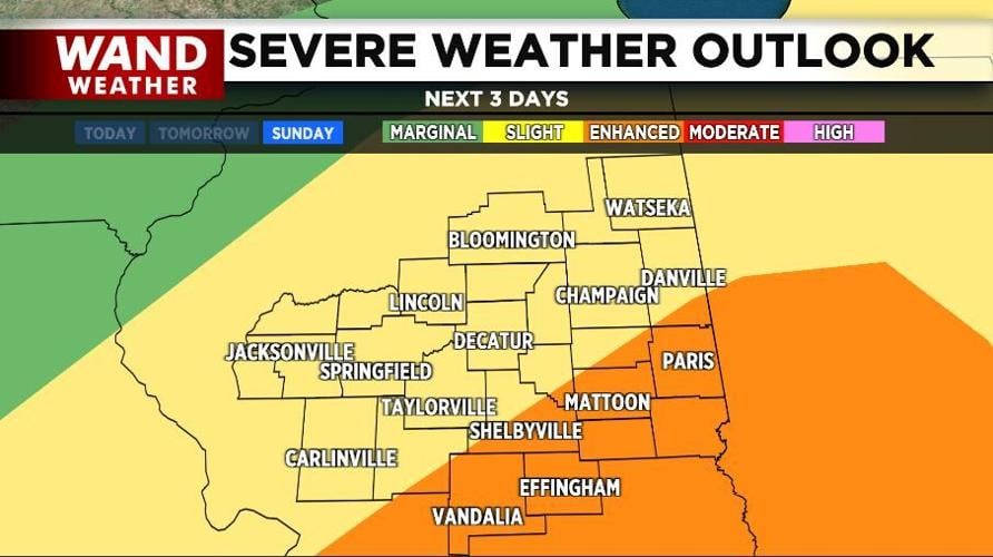
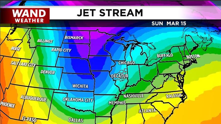
Sunday is the severe day. A large storm arrives, allowing rain with embedded thunderstorms to break out. Gulf moisture will be in play to help fuel these storms. The main risk for severe weather will be during the afternoon and early evening. Unfortunately, a tornado cannot be ruled out.
Sunday night into Monday is the snow timeframe. As cold air catches up to the backside of Sunday's event, rain will change to snow for several hours. Despite warm ground temperatures, it will turn drastically colder to allow the initial melting of snow to freeze. A rapid flash freeze is also possible with black ice being a huge concern into Monday morning.
So, stay safe this weekend. Know where your best location is during a tornado. Stay weather-aware, and give yourself plenty of time to reach your destination early Monday.
Copyright 2026. WANDTV. All Rights Reserved.


