


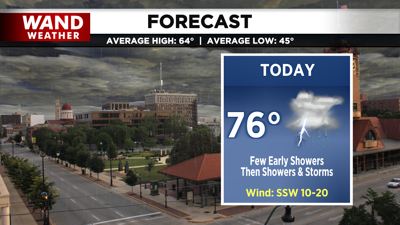
DECATUR, IL. (WAND) - Happy Saturday! After a long stretch of mainly dry and unseasonably warm conditions, a change of weather pattern will roll in today as a potent cold front.

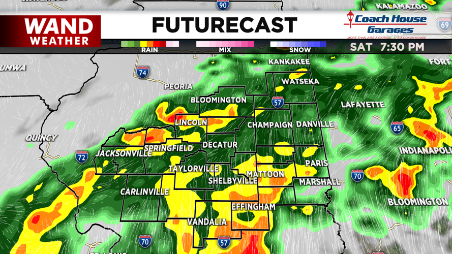
We start the day with isolated and spotty showers. These showers and clouds may limit the diurnal heating pattern, and as a result, limit the instability (or severe thunderstorm fuel) for this afternoon and evening. However, we can still expect thunderstorms by midday, and as the front moves in, it arrives with its own ingredients to boost chances for strong storms.

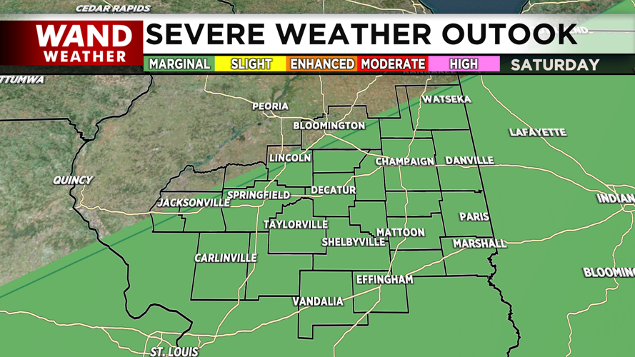
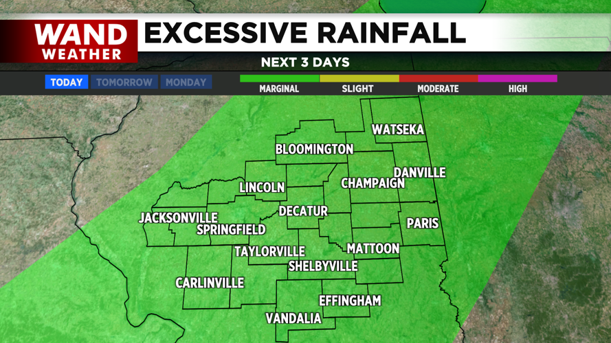
Because of these brewing severe thunderstorm ingredients, the Storm Prediction Center has placed most of Central Illinois under a marginal risk for severe storms, and the Weather Prediction Center has issued an area wide marginal risk for excessive rainfall. This highlights the potential for isolated severe wind gusts and heavy downpours leading to isolated instances of flash flooding.


Rainfall totals through tomorrow morning may reach 2-3 inches for a few locations mainly SE, with the rest of us leaning over the 1 inch mark.

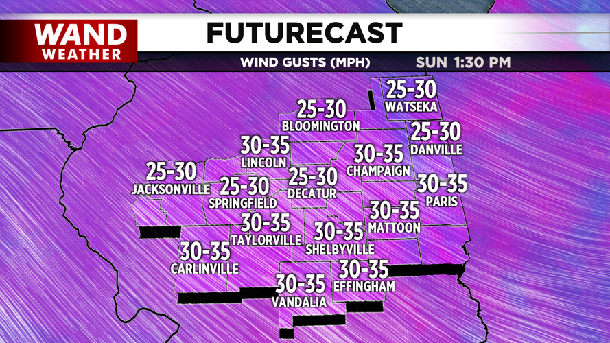
Behind the front, temperatures will dive into the upper 40s overnight and low 60s tomorrow. As the low pushes eastward, it strengthens, giving us gusty winds tomorrow afternoon through Monday. If wind gusts exceed 40 mph, we’ll be watching out for wind advisories for the start of the work week.
Copyright 2025. WANDTV. All Rights Reserved.


