

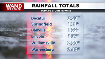
DECATUR, Ill. (WAND) - The Corn Belt was soaked in rain today thanks to steady rain and thunderstorms for the first half of the day, and Central Illinois was no exception. Rain reports of 1 to 2.5 inches are coming from across the region, especially for those along I-72.
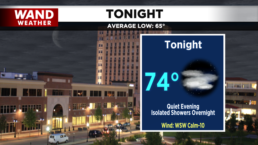
Tonight will be mainly quiet and dry for most. A few pockets of drizzle can't be ruled out, nor can an isolated shower overnight.

Tomorrow, showers and thunderstorms arrive by midmorning, and a few thunderstorms and heavy downpours may set up north and northeast of I-72. Showers should dry out by the afternoon, allowing the sun to come out and heat us into the upper 80s. This heat will help set us up for our next round of showers and storms tomorrow evening.


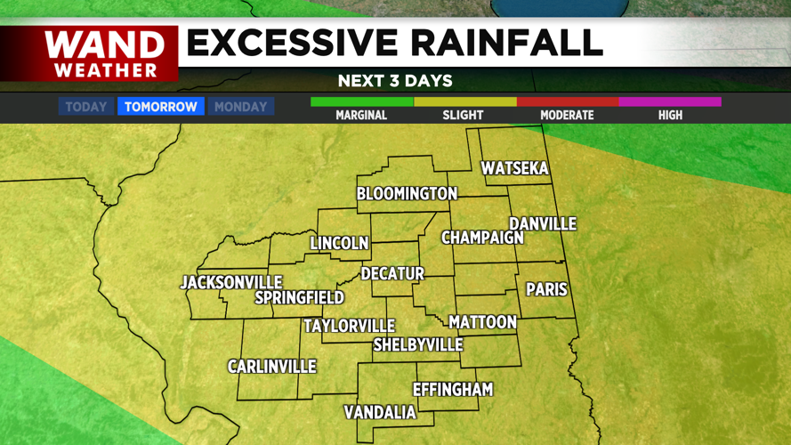
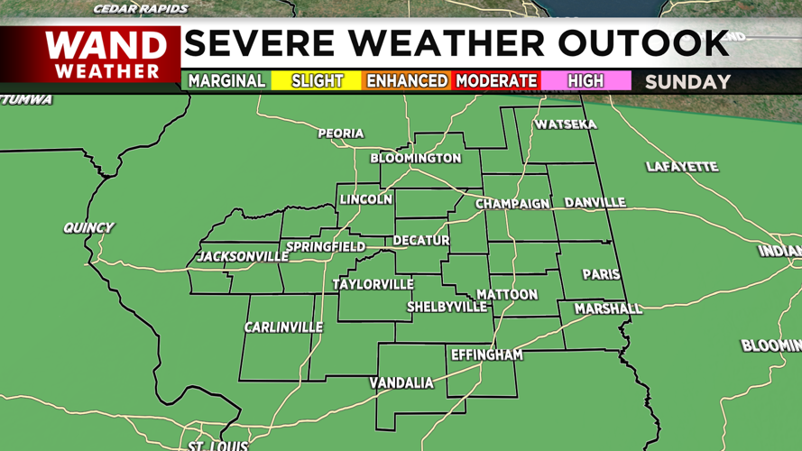
A marginal risk for severe weather and a slight risk for flash flooding is in place for Sunday. More heavy downpours, gusty winds, and lightning can be expected.
The heat will be the story of our workweek. Our next heat wave begins between Tuesday and Wednesday, and may bring heat index values into the mid 100s. An Excessive Heat Watch is already in place for Macoupin, Montgomery, and Fayette counties.
Copyright 2025. WANDTV. All Rights Reserved.


