


DECATUR, IL. (WAND) - Happy Tuesday! The severe weather threat for the week is officially over. Several Areas broke records for the amount of rainfall received, including Lincoln and Springfield. Most of the region saw 2 to 3 inches of rain with the waves of storms.
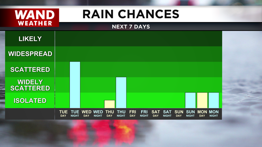
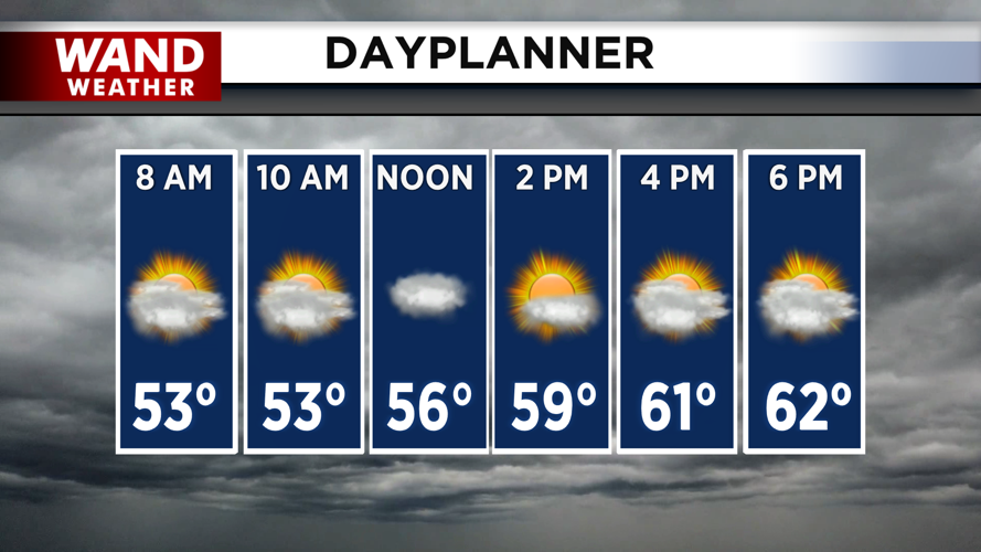
Today will be dry with a mix of clouds and sun. Temperatures will warm up into the mid-60s this afternoon, which is very similar to our high temperatures from Monday. Another round of light rainfall is expected overnight into early Wednesday. These totals will be low, and there is no threat of severe weather with these showers.
The rest of the week looks cool and mostly dry. High temperatures will stay in the low 60s and upper 50s through Saturday. A few scattered showers are possible on Friday, but these look scattered and insignificant. Warmer temperatures in the 70s will return next week.
Copyright 2026. WANDTV. All Rights Reserved.


