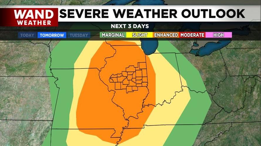

DECATUR, Ill. (WAND) - The Storm Prediction Center has kept the entire state of Illinois in an enhanced risk of severe storms for Monday. That's level 3 out of 5.

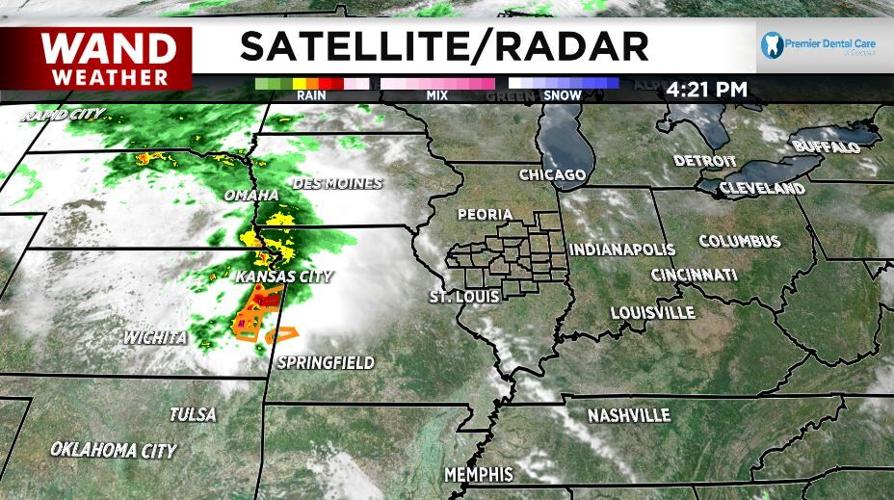
The timing of the strongest storms is the trickiest part of this forecast. Severe storms are blossoming this afternoon across Kansas and moving into Missouri.

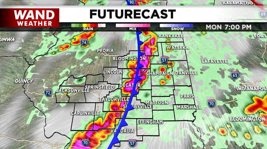
Those storms will head our way overnight and be in central Illinois early Monday morning. The timing, intensity and geographic placement of that early round of storms will heavily impact the afternoon/evening severe weather potential Monday.

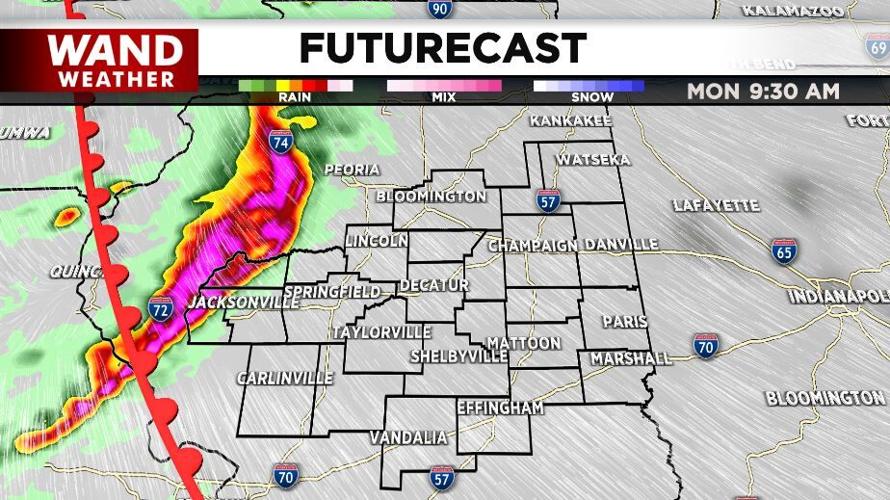
At this time, we expect that the initial round of rain and storms will move through our area with some strong wind gusts and heavy rain. Then there will likely be a break in the action through the middle of the afternoon before a stronger line of storms moves through in the evening.

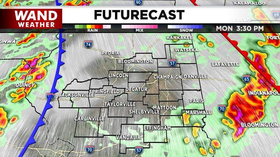
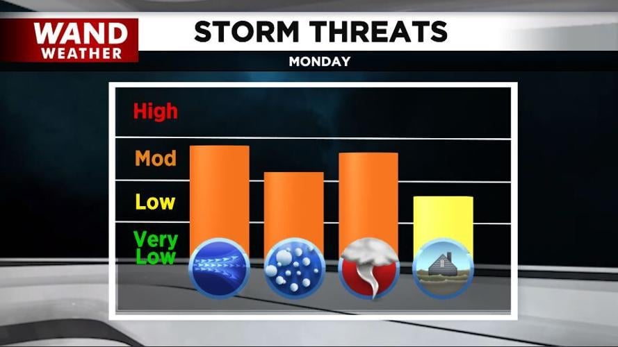
If the morning round of storms comes in later or if that break in the middle of the day doesn't happen because the early rain and clouds never clear out, our evening severe weather threat goes down. If things come together like we expect them to, the strongest storms should be in our area between 5 and 10 p.m. Monday, bringing wind gusts up to 70 mph.

That is strong enough to do damage and cause power outages. The storms will also bring the threat of strong tornadoes and heavy rain, leading to flash flooding. Before the storms form into a line, there will likely be individual strong cells. Those cells could also bring the threat of larger hailstones.

Tune into WAND News tonight at 10 on the WAND Now app to get the latest forecast. The news will run at 11 p.m. on WAND after the NBA. Then our team will be with you all day Monday to track the storms as they move in.
Copyright 2026. WANDTV. All Rights Reserved.


