

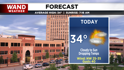
DECATUR, IL. (WAND) - Happy Wednesday! The cold air has begun to drop in from the north, and it will be a bitterly cold stretch for the next 7 to 10 days. Temperatures will drop throughout the day after starting in the 40s. By the afternoon, temperatures will be sitting in the 20s. Skies will clear, allowing temperatures to fall even further overnight into the teens.

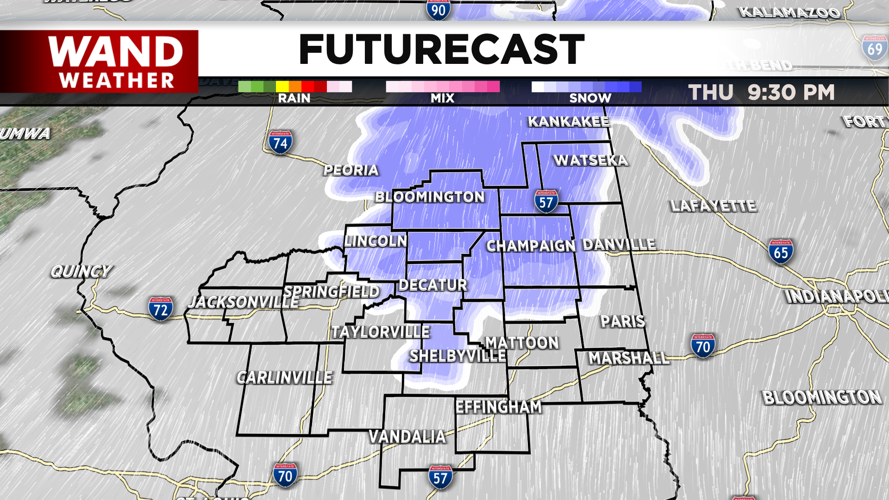
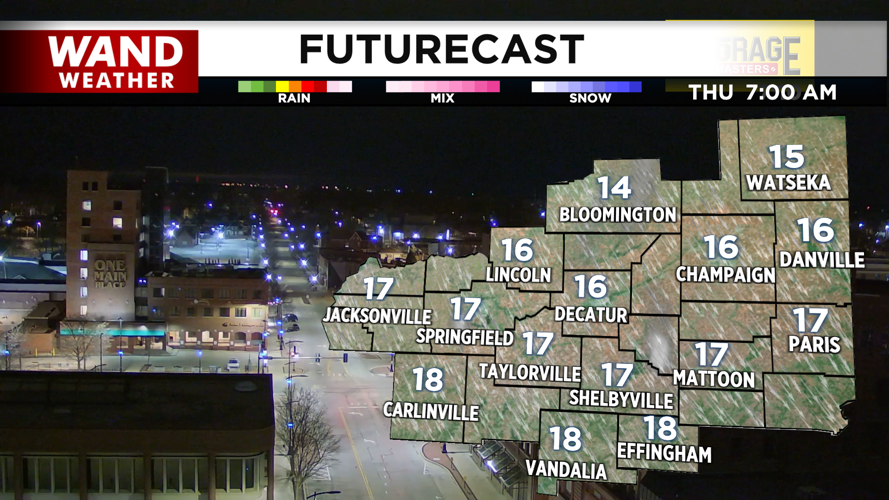
Winds will be gusting around 35 mph this afternoon, but should drop off overnight into Thursday. High temperatures on Thursday will make it to the upper 20s with mostly sunny skies. Chances for snow will move in Thursday night into early Friday morning. The models are indicating we could see a coating of up to 1 inch of snow for the I-72 corridor. South of I-72 will see smaller amounts. This could result in some challenging early morning driving conditions, with a few slick spots possible.

Temperatures will bounce back into the upper 30s on Friday afternoon, but another cold front drops in overnight, leaving us bitterly cold for the weekend. High temperatures will struggle to get out of the teens on Saturday and Sunday. Overnight lows will be in the single digits with wind chills in the negatives. Temperatures will look to climb slowly next week.
Copyright 2026. WANDTV. All Rights Reserved.


