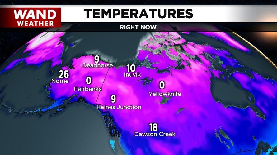
DECATUR, Ill. (WAND) - During the previous cold air burst earlier this month, temperatures bottomed out in the upper teens. This is the same system that produced our first flurries of the season, and for some, the first accumulation of snow via lake effect.
Now, here we are heading toward Thanksgiving, and a deeper, longer-lasting push of cold is knocking on the door. This time, the cold will be exacerbated by strong, gusty winds. Peak wind gusts will be 45-50 mph Wednesday, producing minor damage. FeelsLike temperatures will be mostly below freezing for a couple of days as well.
If this weren't enough, the first widespread accumulating snow will move in to start the weekend.
Initially, this feature will have to fight off dry air across the region, so expect virga (precip that evaporates between the cloud deck and the ground) on the leading edge of the storm. That may allow snow to hold off until Saturday morning for areas east of I-57. Regardless, once the air becomes saturated, it's go time! A quick change to rain for southern locales can easily limit accumulation, with the opposite true for northern areas. The timeframe for snow to rain isn't etched in stone yet, so we have plenty of time to prepare and analyze this storm better.
For now, it's best to have the winter essentials ready to go, and stay tuned.
Copyright 2025. WANDTV. All Rights Reserved.


