

DECATUR, IL. (WAND) - After a hot and rainy week, a cold front is on the way to bring that weather pattern to an end. However, before it swings through, we’re closing the week with another hot and stormy forecast.

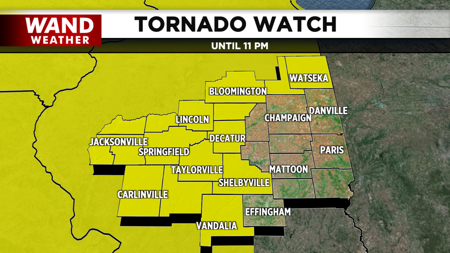
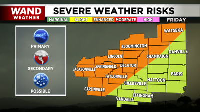
A line of thunderstorms is expected to arrive in our Illinois river counties as early as 8 p.m. A Tornado Watch is in effect ahead of these storms, and it continues through 11 p.m. Strong winds, a few tornadoes, hail and flash flooding can all be expected with the arrival of these storms. The line has already produced several reports of funnel clouds and tornadoes as it rolled across Iowa and northern Illinois.

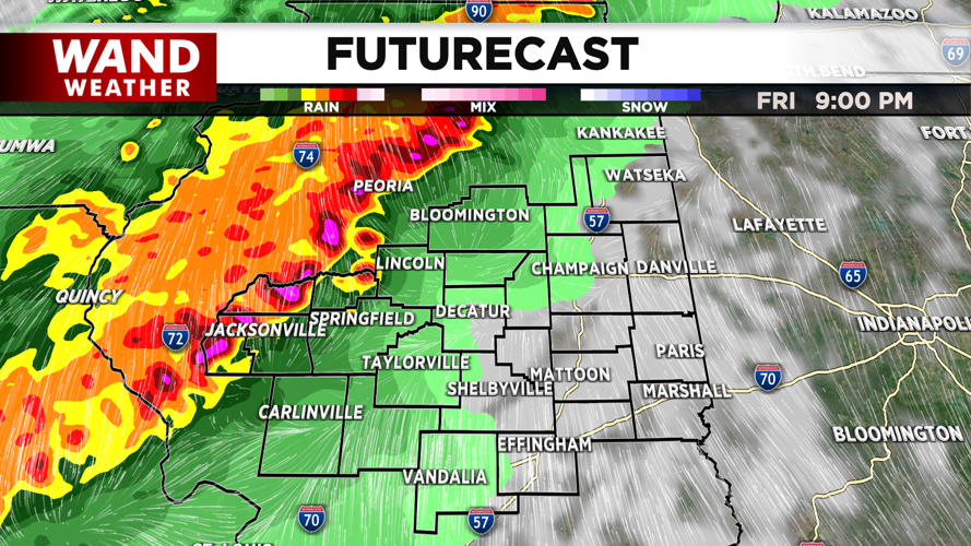
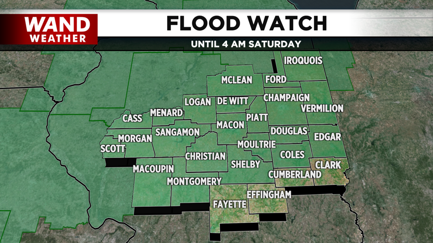
The first of these storms will hold the highest severe weather potential. Since we are losing the daytime heating, we lose a lot of convective ingredients as the night progresses. By 10 p.m., storms may be more widespread, but the greater concern will be regarding heavy rain leading to flooding and isolated severe wind gusts.

After midnight, rain could persist as long as into midday tomorrow, but by then, showers will be light and spotty. We’ll be back to sunshine and cooler temperatures by late afternoon.
Stay safe and stay weather aware.
Copyright 2026. WANDTV. All Rights Reserved.


