
DECATUR, Ill. (WAND) - Monday night's inversion (warmer air sitting on top of cooler air) trapped clouds across the region into Tuesday morning. That inversion eroded for most areas during Tuesday afternoon; the exception being the I-74 corridor and points northward.
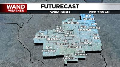
Well, a re-strengthened inversion and lingering low-level humidity will ignite another batch of low clouds tonight through Wednesday morning. This time around, a light or non-existent wind will allow fog to form.
While that shouldn't be an issue in most areas to kick start Hump Day, there can be freezing fog and isolated slippery spots on bridges/overpasses where the temp falls to just below freezing. Larger towns will likely remain above freezing, but in the 30s.
As always, stay weather-aware and enjoy.
Copyright 2026. WANDTV. All Rights Reserved.


