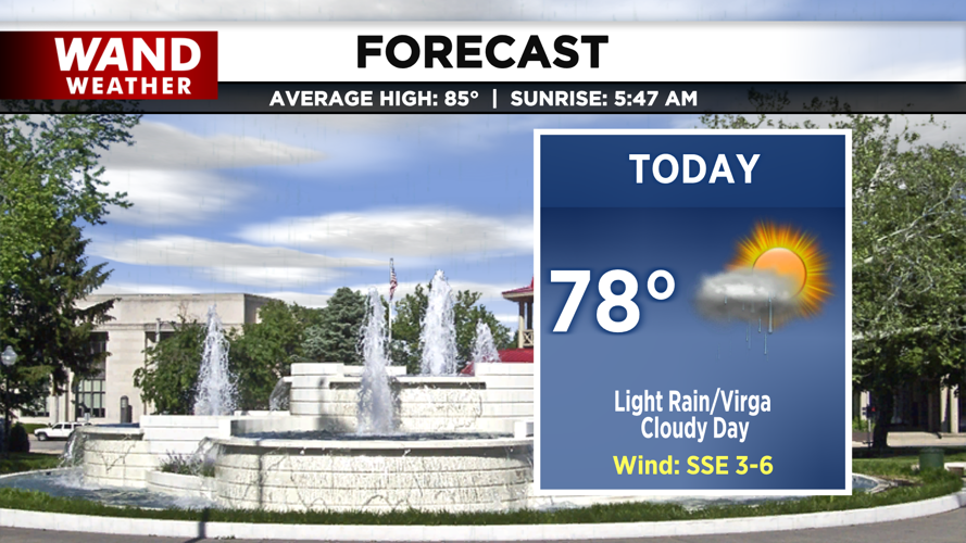


DECATUR, IL. (WAND) - Good morning and happy Friday Central Illinois! Though clouds and shower chances will linger across the area today, we are in for another cooler day to wrap up the workweek. Temperatures today are up into the upper 70s with the chance for some light showers, particularly towards the west and southwest. Due to drier air at the surface this afternoon, much of this rain will fall as virga and evaporate before reaching the surface.

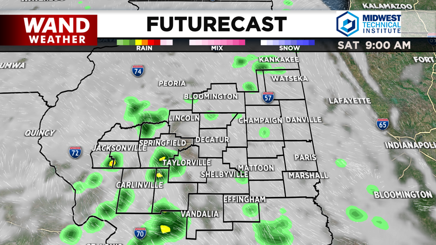
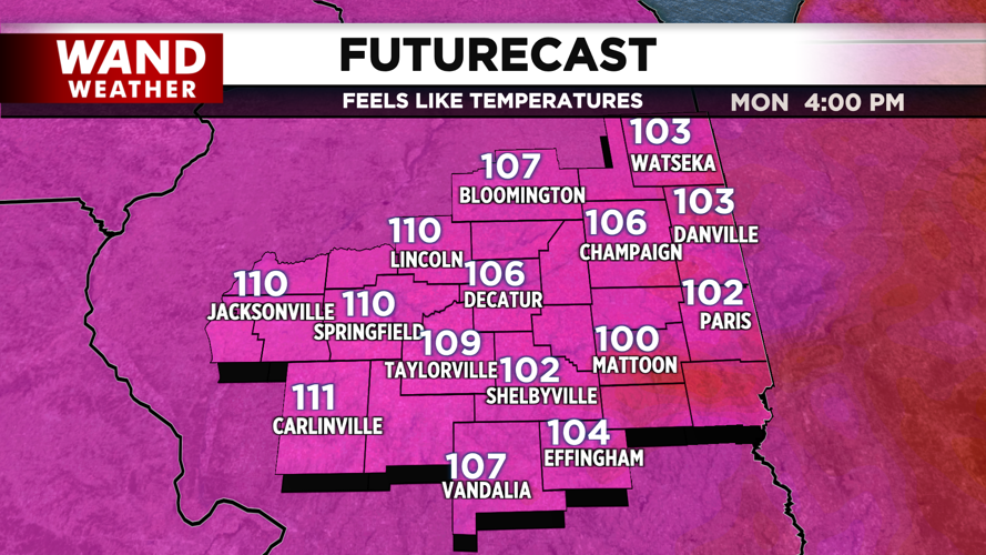
Better chances for precipitation arrive tonight and through Saturday morning, where some communities could see a couple of tenths of an inch of accumulation at most. Drier conditions do emerge towards Saturday evening as we begin to see the return of heat and humidity to the forecast, with highs in the mid-80s Saturday. Sunday to Tuesday sees high temperatures slated to sit in the 90s. Feels-like values surge into the triple digits to start next week, with some communities trending towards feeling like 105-110.

Chances for possible thunderstorm activity linger towards the end of the weekend and start of next week, particularly Sunday and Monday nights. However, uncertainty remains with probability, timing, and impacts of any storms that form. As we get closer, we’ll have more updates to pass along.
Copyright 2026. WANDTV. All Rights Reserved.


