(WAND) - After a frosty start to Tuesday morning, more severe weather is on the way.
Central Illinois started out in the upper-20s and 30s this morning and will warm into the 50s this afternoon with increasing clouds.
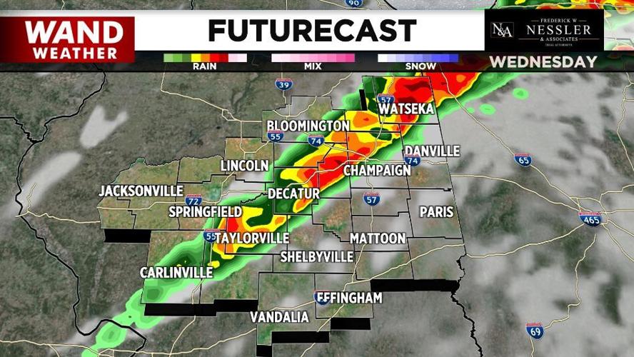
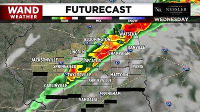
A few strong storms are possible Wednesday morning mainly across our northwestern and western hometowns.
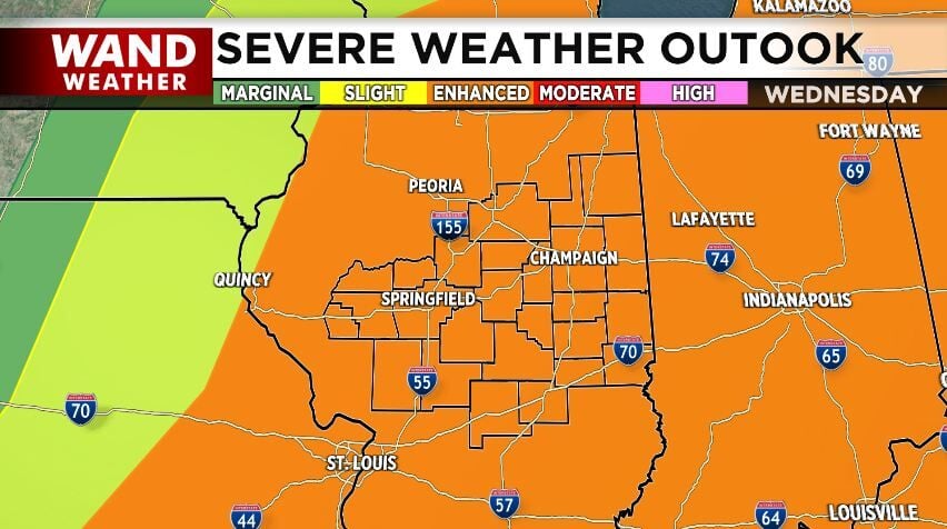
However, it's late Wednesday afternoon and evening when a more widespread severe weather event is likely.
Like Sunday, damaging winds, hail, and tornadoes are possible. We're under a level three out of five threat for severe storms.
Later this week, a stalled front brings a daily chance of rain. The rain could be heavy this weekend.
Southern hometowns may pick three or more inches.
Meteorologist Anthony Peoples
Copyright 2025 WAND TV. All rights reserved.


