

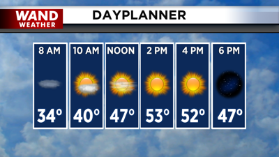
DECATUR, IL. (WAND) - Happy Wednesday! We are in store for a foggy and chilly start to our day across much of Central Illinois. A dense fog advisory is in place for most of Central Illinois as visibility has already fallen to a quarter mile in some areas.
Expect the fog to persist through the morning, with sunny skies expected to move in by 9 am. This will burn off the fog quickly, and we should have a very comfortable afternoon with highs back in the mid-50s.

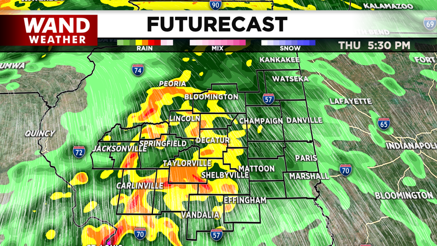
Clouds will drift in overnight into early Thursday morning. This will allow temperatures to stay warmer in the 40s for early Thursday. Light rain chances are expected by late Thursday morning. Stronger showers and storms with very gusty winds are expected to arrive on Thursday afternoon. Expect strong wind gusts with this system, which could pose a potential threat, accompanied by heavy rain and lightning.
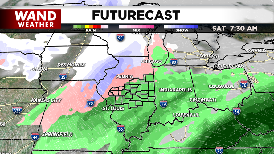
The storms should exit overnight into early Friday morning. Most of the day on Friday looks quiet, but we will see another round of showers overnight into early Saturday. This will usher in much cooler air for the weekend.
Copyright 2026. WANDTV. All Rights Reserved.


