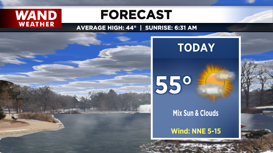

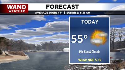
DECATUR, IL. (WAND) - Happy Saturday! Today will be quiet, but some wintry weather is in the forecast for the start of the work week.
Today, we’ll remain dry and partly cloudy. Temperatures will top off in the mid 50s, but cooler air moves in tonight behind a cold front. That front will likely allow for virga on radar later this evening, but we should remain mostly dry. Tonight will be breezy and clear enough for temperatures to quickly drop into the 20s.
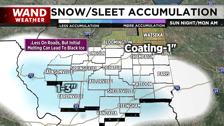
Tomorrow, clouds build in throughout the day. Temperatures top off in the low 40s and upper 30s. Late Sunday night, a round of snow and snow/rain mix will roll in. Areas southwest of I-72 may be able to pick up a little over an inch of snow, especially on grassy surfaces. However, there is a higher concern for slippery travel conditions by monday morning. Lingering showers will transition to freezing drizzle, creating black ice concerns for the morning commute. Any snow that melts and re-freezes will only add to this concern.

Have a great weekend and be safe!
Copyright 2026. WANDTV. All Rights Reserved.


