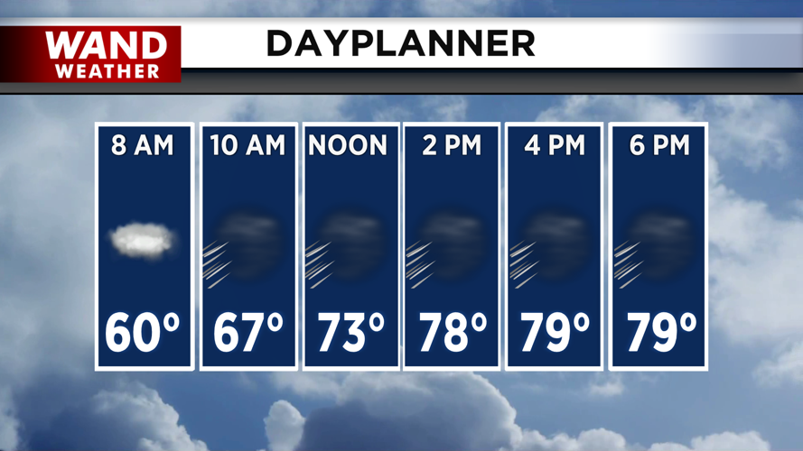


DECATUR, IL. (WAND) - Happy Monday! It will be a warm start to the week across the Midwest as temperatures warm up quickly today into the upper 70s and low 80s. Expect a mix of sun and clouds through the afternoon with the warmer temperatures. Breezy conditions out of the southwest will keep temperatures warm overnight.
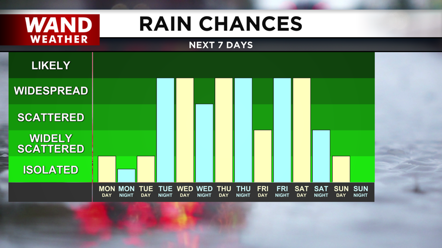
We will start Tuesday in the low to mid-60s and quickly warm up into the low 80s for the afternoon. Rain and storm chances move in for the evening as a cold front moves across the region. Some thunderstorms are possible, but the severe weather risk is low at this point. Strong winds and heavy rain will be the big threats with this kind of storm.
Temperatures will be much cooler behind the front. Expect seasonable highs in the upper 50s as we start April. Rain chances will hang around through the rest of the week and into the weekend. Some heavy rainfall is expected at times with a few rumbles of thunder. Easter Sunday is looking breezy but dry in the 50s.
Copyright 2026. WANDTV. All Rights Reserved.


