
(WAND Weather) — If you've been outside at any point today, you likely noticed the uptick in humidity.
This is in response to the passage of our latest warm front, which triggered the round of stormy weather earlier in the day.
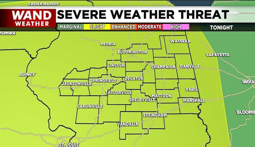
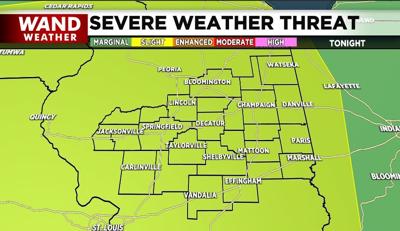
As the atmosphere recovers and destabilizes this evening, the pressure will fall in advance of a weakening cool front. The result will be another round of heavy to severe thunderstorms.
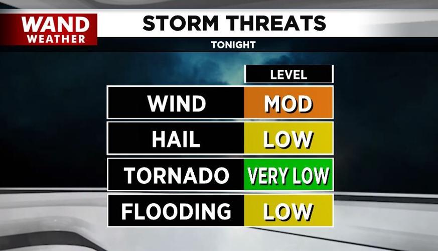
While the risk of a tornado is not zero, it is extremely low. The reason for this is primarily from a weaker than usual inflow of air into the column of the developing storms and less directional wind shear needed for a greater threat.
That said, any thunderstorm can be accompanied by wind gusts near, or in excess of 60 mph with nickel to quarter-size hail.
Another problem with these storms is they will be late evening into the overnight time frame, under the cover of darkness.

So, unfortunately we cannot see them coming unless viewing them on the WAND weather app.
Copyright 2024. WAND TV. All rights reserved.


