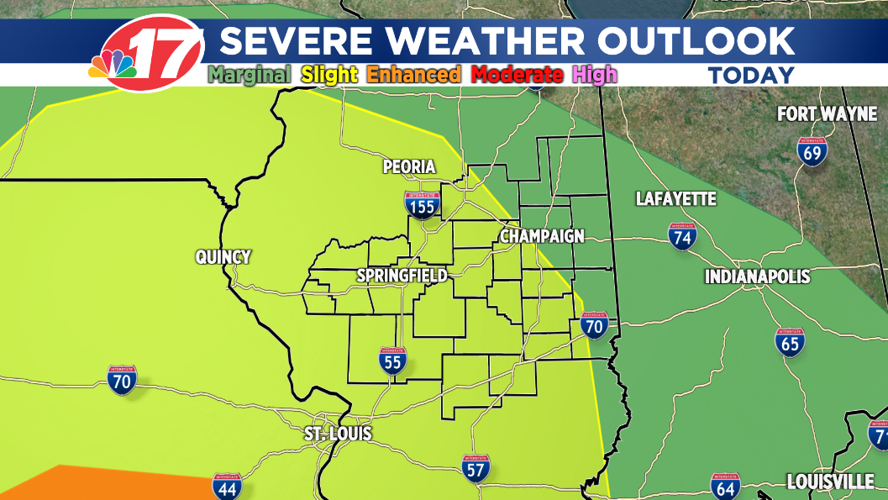


(WAND) - Severe storms are possible this afternoon across Central Illinois.
As a warm front lifts into the area, it'll interact with a very warm, humid, and unstable atmosphere.
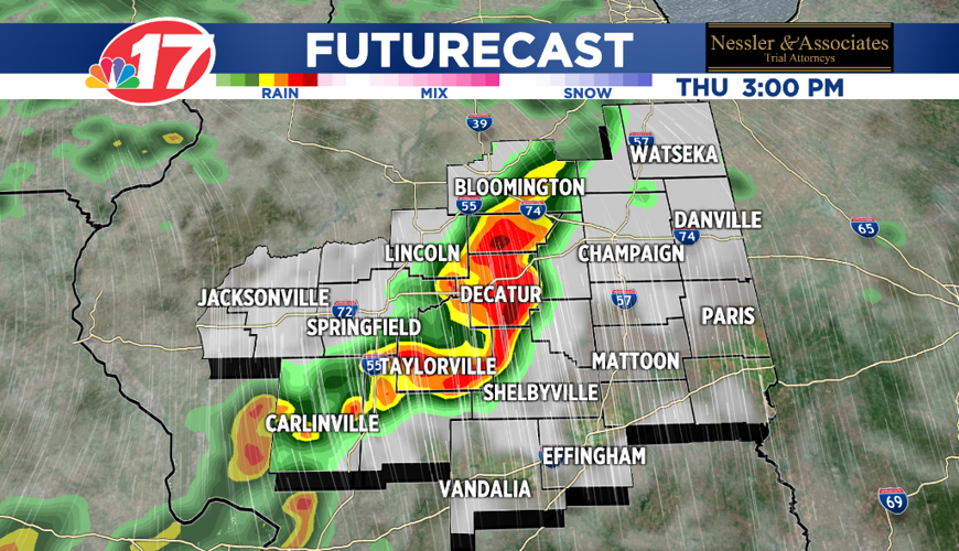
A line of thunderstorms will break out across central Illinois. The area is in a severe thunderstorm watch until 7 p.m. Thursday, per the National Weather Service. A severe thunderstorm warning is in effect until 2 p.m. for southeastern Logan County, eastern Christian County, northwestern Shelby County, southwestern DeWitt County and Macon County.
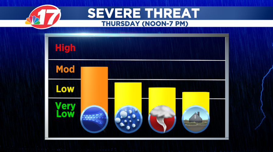
These storms, which could become strong to severe, will move through the area between noon and 7 p.m. Thursday.
While damaging winds and large hail are the biggest threats, tornadoes are also possible.
Once the severe weather threat diminishes this evening, showers and a few storms are still possible tonight.
Scattered showers and much cooler weather is expected Friday with highs only in the low-60s!
The Memorial Day weekend is going to be a nice one with sunshine and pleasant temperatures.


