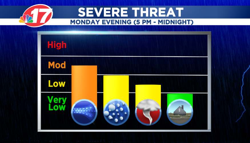

(WAND) - Severe weather is likely Monday evening and early evening across Central Illinois.
Damaging winds, large hail, and even tornadoes are possible with these storms. That threat will be highest between 5 p.m. Monday and midnight.
The sun will break through the clouds this afternoon warming temperatures well into the 70s. This will destabilize the atmosphere setting the stage for the severe weather threat.

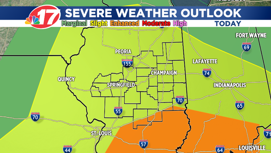
The Storm Prediction Center has almost all of Central Illinois under a Level 2 (out of five) threat for severe weather. However, southern parts of Clark, Cumberland, Effingham and Fayette counties are under a Level 3 threat.
The WAND StormCenter 17 weather team will be watching this situation very closely and keep you updated throughout the day.


