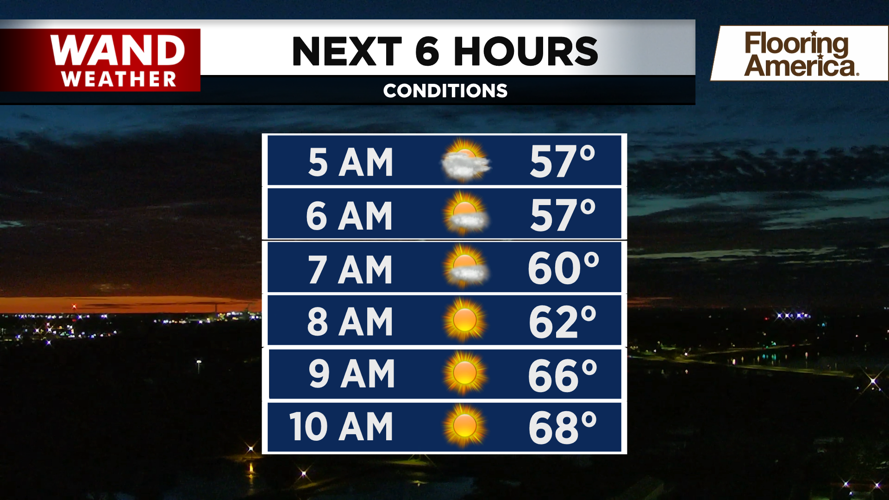


DECATUR, IL. (WAND) - Happy Monday! It will be a gorgeous start to the week with nothing but sunshine. Temperatures will warm up from the 50s into the low to mid-70s by the afternoon. Winds will be calm out of the west, around 5 to 10 mph. Humidity will be low as well.
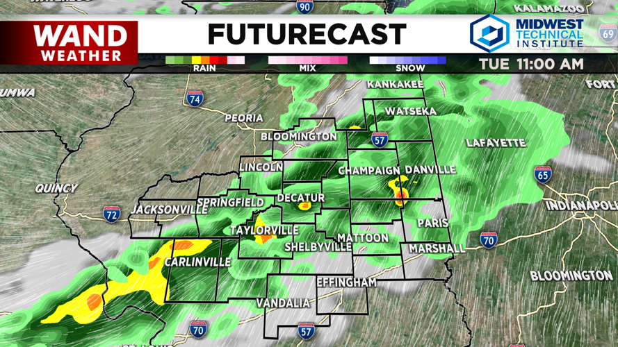
Tuesday will be more active. Temperatures will start cool in the 50s. Rain and scattered storm chances will ramp up for the late morning and early afternoon. These storms will be scattered, but some could be strong with some heavy rain and lightning. Storms will clear in the early afternoon. Sunny skies will move in for the back half of the day.
Wednesday will be the hottest and most active day of the week. Temperatures will climb into the low 80s, which is right where we should be for this time of year. Storm chances will again arrive for the afternoon. Some of these will be strong to severe, but the best chance for severe storms will move in for the evening. The Storm Prediction Center has Central Illinois under an enhanced (level 3 out of 5) risk for severe storms on Wednesday evening. Very strong winds and some large hail will be the main threats with these storms.
This will be much calmer behind the storms. High temperatures will drop into the 70s and low 80s for the rest of the week. Rain chances won’t return until the back half of the weekend.
Copyright 2026. WANDTV. All Rights Reserved.


