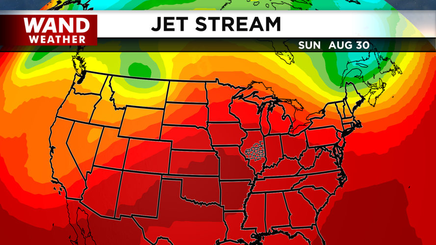
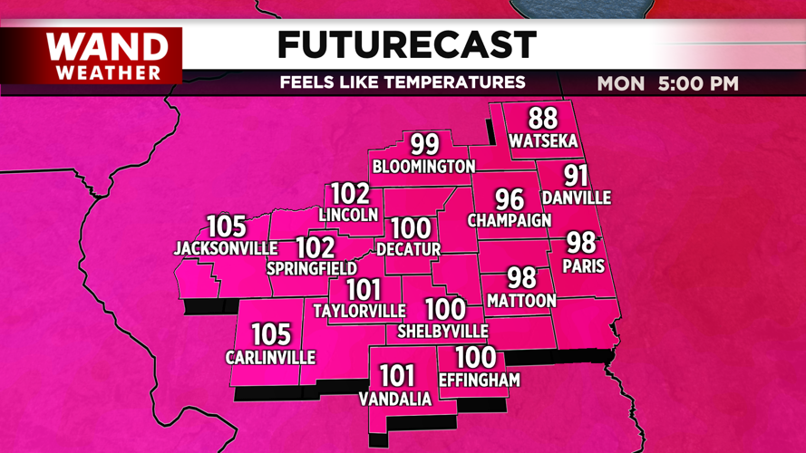

DECATUR, IL. (WAND) - Enjoy the pleasant weather while it lasts. Central Illinois is in for a comfortable end to the week before a significant warm-up arrives early next week, bringing heat and humidity that will feel oppressive by Monday.
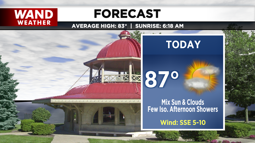
Today brings a quiet start with highs topping out in the upper 80s under increasing cloud cover. By this afternoon, expect partly cloudy skies with the chance of a few light, isolated showers developing late in the day and lingering into the early evening. Tonight remains mostly dry and partly cloudy, though some pockets of drizzle or virga—rain that evaporates before reaching the ground—cannot be entirely ruled out as overnight lows settle into the mid-60s.

Conditions shift tomorrow as high pressure begins to build in and dominate our regional weather patterns. This strong subsidence means any potential raindrops will be extremely difficult to find, paving the way for a dry but increasingly sultry day. Expect rising heat and humidity to push afternoon highs into the low 90s, marking the beginning of a prolonged warming trend.

The real story unfolds as we head into the upcoming workweek, where temperatures are forecast to climb even higher. Afternoon highs are expected to reach the mid-90s, accompanied by breezy conditions and slightly lower relative humidity levels. While these factors may keep heat index values just below official advisory thresholds, the persistent heat will still pose a significant challenge.
With overnight lows consistently hovering in the 70s, there will be very little nighttime relief from the oppressive conditions. It is crucial to take proactive steps to stay cool, hydrated, and safe during this extended stretch of summer heat.
Copyright 2026. WANDTV. All Rights Reserved.


