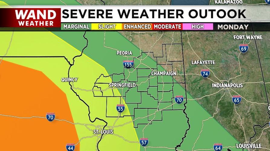


The threat of severe weather returns to Central Illinois tonight and tomorrow.
After a quiet weekend following the severe storms Thursday and Friday, conditions look favorable for more nasty weather.
Scattered showers and storms are likely today with highs in the low-to-mid-70s.
Severe storms are possible overnight along with some very heavy rain. While the storms moving in this evening and tonight will be weakening, we could still experience damaging winds, large hail, and a few tornadoes.

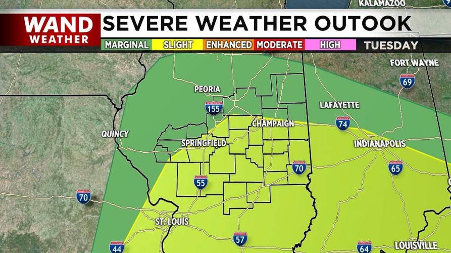
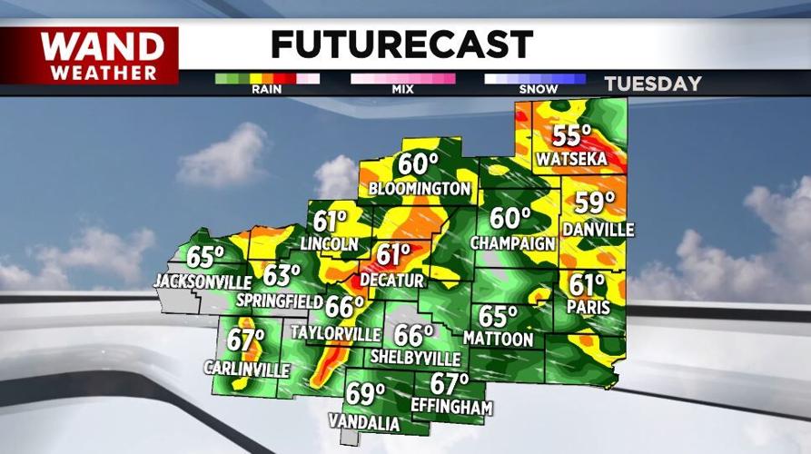
Another round of severe storms is possible Tuesday afternoon and evening.
Scattered showers stick around into Wednesday and a few can't be ruled out Thursday.
We dry out Friday and Saturday before more shower chances arrive late in the Memorial Day weekend.
It'll be much cooler this week with highs Wednesday and Thursday only in the low-60s.
Meteorologist Anthony Peoples
Copyright 2025. WANDTV. All Rights Reserved.


