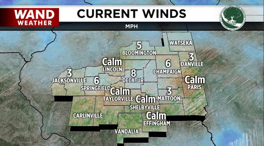
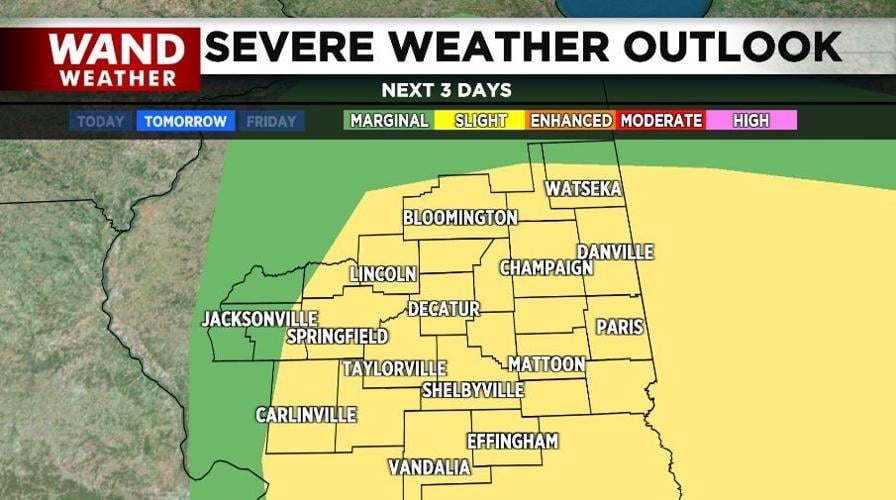


DECATUR, Ill. (WAND) - Recent gusty winds have calmed down, and a delightfully mild night is upon us. Now, it is no secret we need rain. However, be careful what you wish for. Thursday's weather setup doesn't look like widespread severe weather, but there is at least the threat in a few locales.
Storms will initially develop later Thursday morning into the early afternoon, shifting from west to east as they do so. There may be enough factors present to limit the scope of severe weather during this first batch, although strong winds and hail cannot be ruled out. Another round of storms will likely develop over the eastern half of the state later in the afternoon. These storms will race off to the east-northeast, perhaps eclipsing 50 mph for a forward speed.
So, while they won't last long in any location, the stakes are raised to potential isolated tornadic activity. The fast-moving motion also will not give you a lot of time to seek a safe locale. Know ahead of time, and track the storms on the free WAND weather app.
Stay safe and stay weather aware.
Copyright 2026. WANDTV. All Rights Reserved.


