
DECATUR, IL. (WAND) - Good morning and happy Saturday, Central Illinois! Our last day of milder temperatures for a while is today; by tomorrow, we’re adding heat and humidity back into the mix.

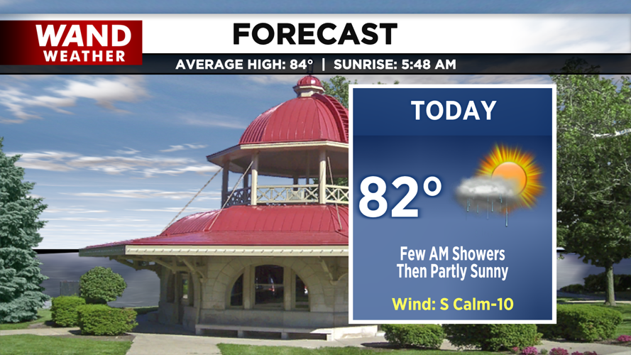
A warm front draped across high pressure has kept a few showers around this morning, but activity should taper off by midday. Clouds will be slow to clear, limiting how warm we get through the afternoon.
Highs today stay in the low 80s under mostly cloudy skies. Tonight, enough cloud cover lingers to keep lows mild in the low 70s.

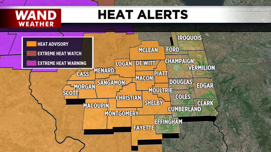
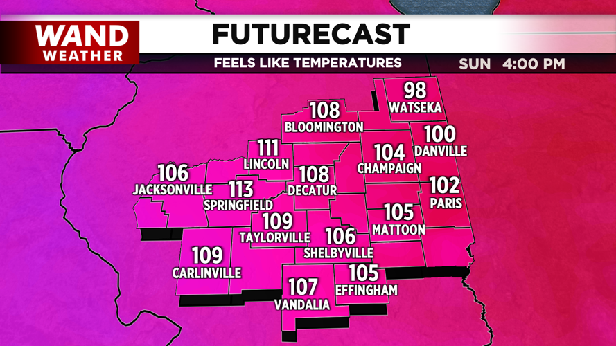
Tomorrow brings a noticeable jump in heat and humidity with highs in the low 90s. A Heat Advisory goes into effect at noon, with heat index values climbing into the 100s.
A few thunderstorms may pop up tomorrow afternoon into early evening, and a couple could produce severe wind or hail. Similar heat and humidity are expected Monday—do what you can to stay cool, and stay weather aware.
Copyright 2026. WANDTV. All Rights Reserved.


