

DECATUR, IL. (WAND) - Happy Saturday and Flag Day!
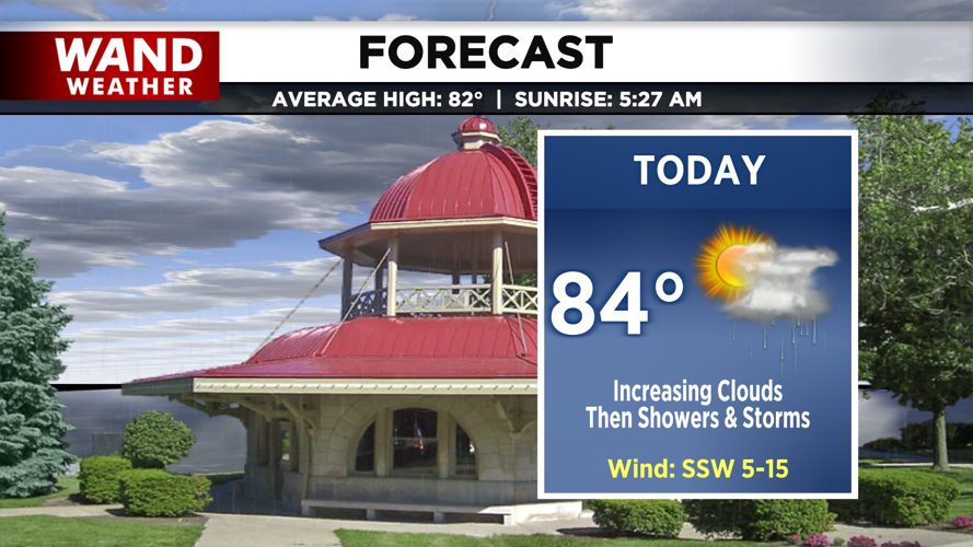
Today begins with partly cloudy skies and partial sun, allowing temperatures to warm up quickly. Scattered showers will move in by midday for areas south of I-72. By mid-afternoon, widely scattered showers and storms will be moving across the region.


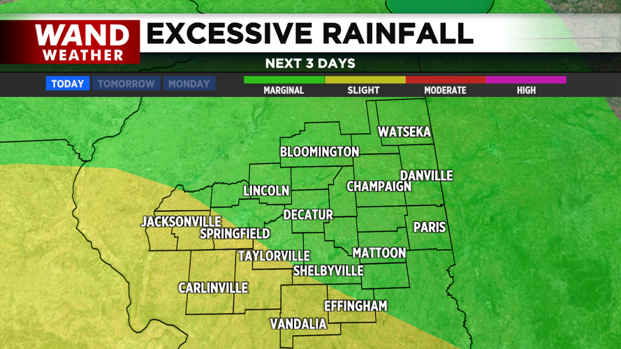
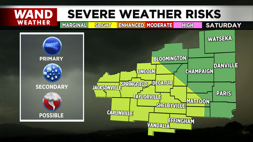
Some of these storms come with severe wind gusts and chances of hail, and we can’t rule out a spin-up tornado, though the chances are low. After a long week of showers and storms, wherever strong thunderstorms set up today will likely cause more concerns for flash flooding.
As the cold front comes through, another round of rain and thunderstorms arrives and becomes widespread around midnight. However, by early Sunday, the rain will taper off. We’ll make way for clearing skies through the morning and plenty of sunshine by the afternoon; however, we’ll be cooler behind the cold front with highs in the mid-70s.
Have a great weekend!
Copyright 2026. WANDTV. All Rights Reserved.


