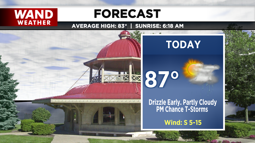

DECATUR, IL. (WAND) - Good morning and happy Wednesday! We are starting the day with some spotty drizzle this morning, but expect those damp conditions to dry out by the late morning hours.

As we head into the afternoon, clouds will break for some partial sunshine, allowing humidity levels to climb. Temperatures are forecast to rise into the upper 80s, setting a warm and muggy stage for later in the day.

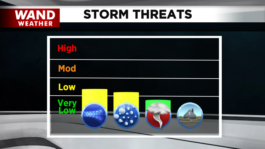
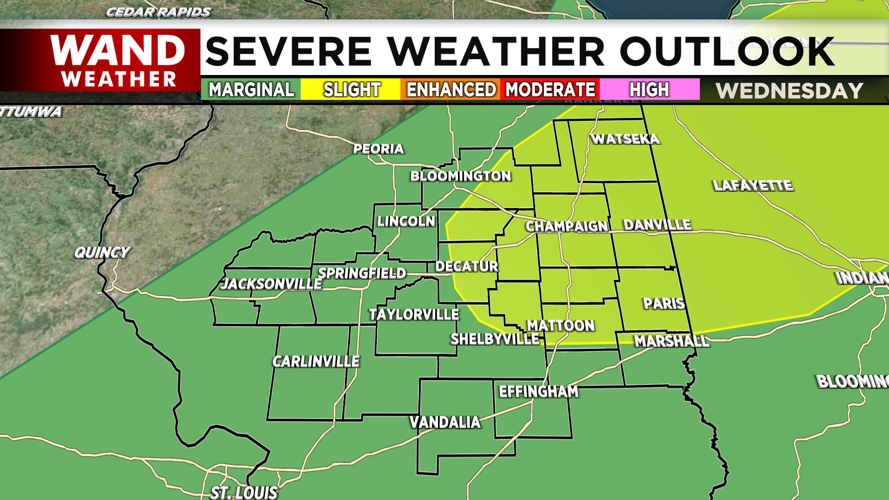
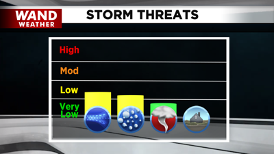
By late afternoon, a broken line of showers and storms is expected to move through the region. While the overall threat of severe weather remains low, there is a small chance that a few storms could become strong enough to produce hail and gusty winds. Fortunately, these storms will be fast-moving, arriving by mid-afternoon and completely drying out by early evening.

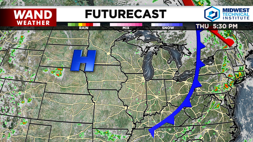
Once those storms clear out tonight, skies will turn clear and much cooler. Overnight temperatures will drop into the low 60s, making for a refreshing start tomorrow morning. High pressure then builds in for the second half of the week, ensuring dry, sunny, and comfortable conditions before temperatures begin creeping back into the low 90s by early next week.
Copyright 2026. WANDTV. All Rights Reserved.