
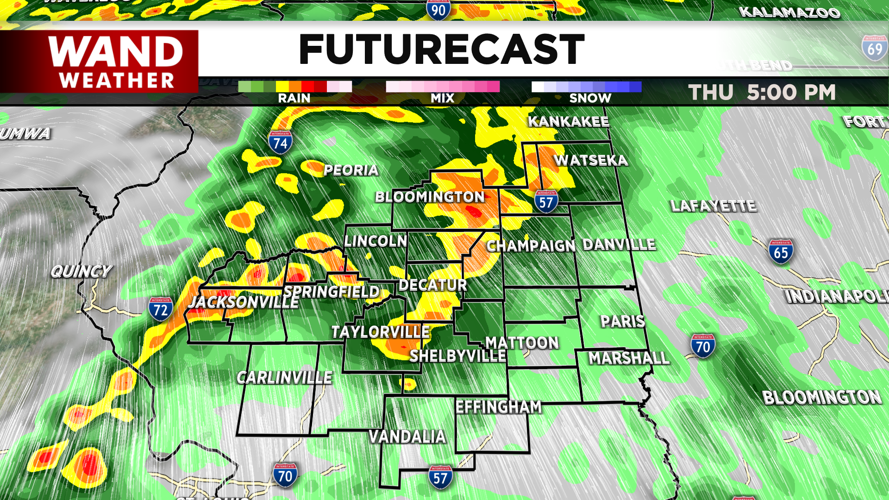


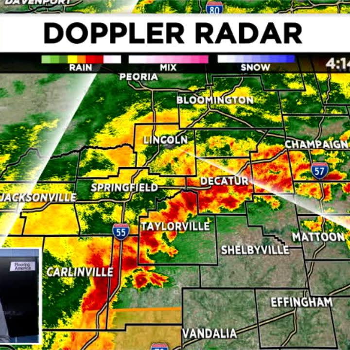
DECATUR, IL. (WAND) - Strong thunderstorms are expected to move in later this afternoon. While all modes of severe weather will be possible, the main threats with these storms will be strong gusty winds and a chance of some spin-up tornadoes. The timeline hasn’t changed very much since yesterday. Light rain is expected to move into the region around 10 am in the late morning. Thunderstorms will develop this afternoon, with the bulk of the storms between 4 and 8 pm.
This line of storms does look less organized than the system that moved in late last month, but with the timing of the storms, be careful during the evening drive home. Winds will be powerful with this system, with sustained winds around 30 mph. Gusts could be much higher than that.
Some leftover showers could linger into early Friday, but the rain should clear out well before the morning commute. It will be a very windy start to the day, before calmer winds arrive for the late afternoon and evening.
We could have a rain-snow mix on Saturday with chances of some light accumulation for areas north of I-72. Temperatures will be significantly colder behind a cold front, accompanied by very windy conditions, for early next week.
Copyright 2026. WANDTV. All Rights Reserved.


