
DECATUR, IL. (WAND) - Good morning and happy Sunday, Central Illinois! Another diverse forecast returns today and tomorrow, beginning this morning with patchy dense fog.

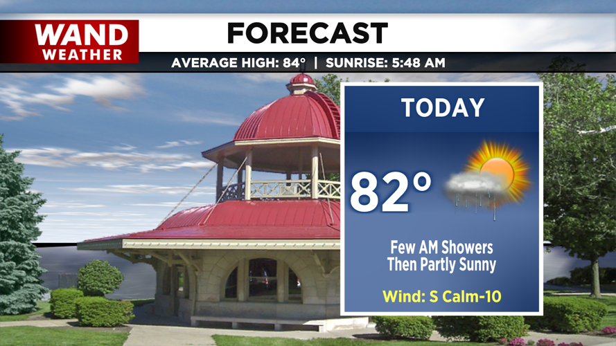
Visibility will improve after a few hours of sunshine around 9 am, but by then, we’ll be tracking a chance for an isolated thunderstorm this morning. This may arrive with an isolated heavy downpour, but as we head into the afternoon, rain will taper off.

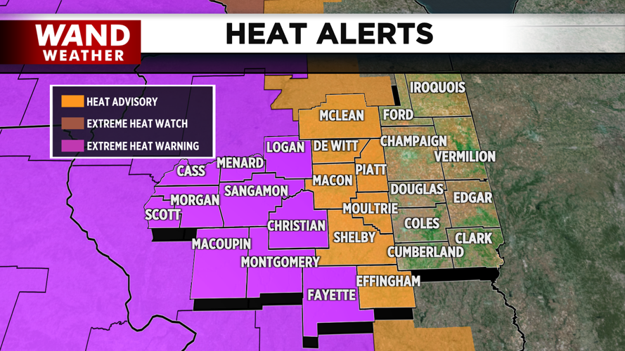
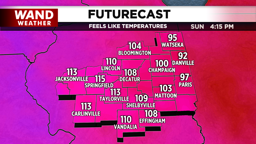
Partial sunshine returns for the late afternoon, along with intense heat and humidity. Temperatures in the low 90s will feel more like 105-110 degrees today with humidity, so do what you can to stay cool. An excessive heat warning and heat advisory will go into effect at noon regarding the intense conditions. Similar conditions are expected through tomorrow, so the heat alerts will remain in effect through Monday evening.
An isolated thunderstorm will be possible early this evening after the daytime heat, and more thunderstorms are on tap for tomorrow morning. With plenty of instability in place today and tomorrow, we can’t rule out an isolated severe storm, so stay weather aware.
Copyright 2026. WANDTV. All Rights Reserved.


