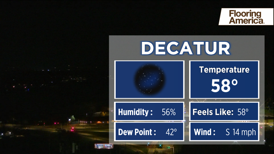
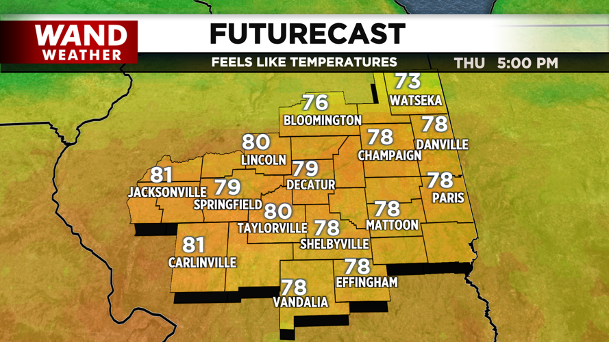


DECATUR, IL. (WAND) - Happy Thursday! It is a warm start to the day with temperatures starting in the upper 50s across Central Illinois. Temperatures will warm quickly throughout the day as warm air out of the south takes over. We should be well into the upper 80s by the afternoon. Winds will gust out of the south around 20 mph through the evening, and this will keep us warm overnight in the 50s.
Rain chances will increase tonight into early Friday morning as a cold front moves in from the north. This could trigger a few scattered thunderstorms and steady showers from 5 am to 10 am. Showers will weaken through the late morning and should exit the area by the afternoon. This will cool temperatures down in the 60s for Friday afternoon.
It will be slightly cooler Saturday morning in the 40s, but warmer temperatures in the upper 60s should return for the afternoon. Sunday is looking warm and windy with gusts picking up out of the south. High temperatures will push into the upper 70s and low 80s with storm chances ramping up for Sunday night into Monday.
Copyright 2026. WANDTV. All Rights Reserved.


