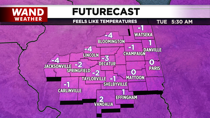
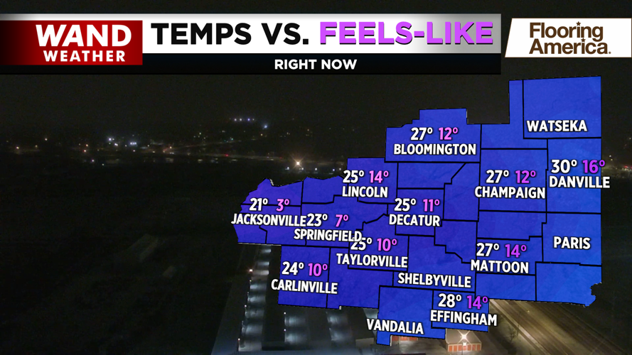
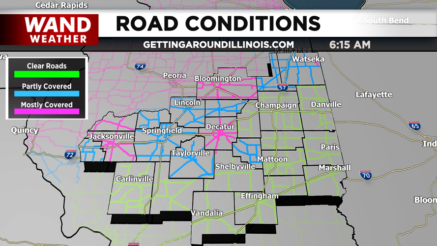
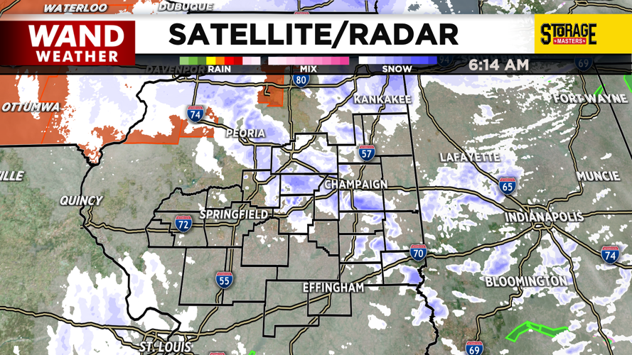


DECATUR, IL. (WAND) - Happy Monday! It was a wild start to the week as severe storms rolled through the area Sunday evening. Several tornado warnings were issued, and many areas saw damage from the strong winds. Temperatures have plunged overnight, and now there is snow impacting much of Central Illinois. Expect some visibility issues and slick spots with some black ice possible. The highest snow totals will be in our northern counties. A winter weather advisory is in effect for counties north of I-72.
Winds will also be a problem today. Winds will gust out of the northwest around 35 to 45 mph through the afternoon. Temperatures will be in the mid-20s, but wind chill values will be much cooler in the teens and single digits. Snow should exit this afternoon, but temperatures will stay well below freezing. Overnight wind chills will drop into the negatives.
Another shot of snow will return on Tuesday night into Wednesday morning. This could create slick spots for early Wednesday morning. Temperatures will warm up quickly on Wednesday afternoon as winds shift out of the west. Temperatures will be well into the 60s by Thursday and Friday.
Copyright 2026. WANDTV. All Rights Reserved.


