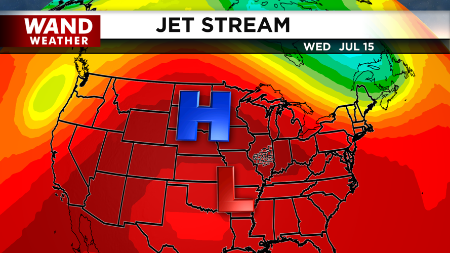


DECATUR, IL. (WAND) -A ridge of high pressure is settling over the Midwest, bringing a dangerous stretch of heat and humidity to Central Illinois through the weekend. Heat index values will peak between 95 and 100 degrees this afternoon, then climb to or exceed 100 degrees each afternoon from Wednesday through Saturday.
What to Expect Today
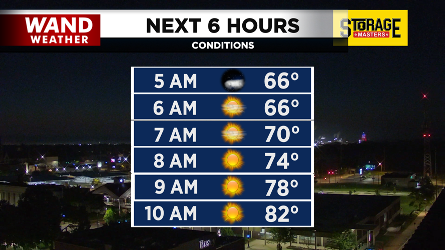
Patchy fog this morning could reduce visibility before 8 a.m., so use caution during your morning commute. The fog should burn off quickly once the sun rises, giving way to abundant sunshine and hot conditions.
Mid-Week Heat Intensifies
The dangerous heat continues Wednesday and Thursday with heat index values at or above 100 degrees each afternoon. Thursday afternoon brings a slight chance of showers and thunderstorms over Central and Southeast Illinois, but most areas will remain dry.
Friday Brings Storm Potential and Rain
Friday is the day to watch. Showers and thunderstorms become more likely, especially during the afternoon hours. Stronger storms could produce gusty winds and locally heavy rainfall. Forecasters are tracking between a quarter and half an inch of rain across Central and Southeast Illinois, though some areas could see over 1 inch.
Looking Ahead
The intense heat continues through Saturday before conditions begin to moderate. Looking further ahead, temperatures are expected to trend near normal by late July.
Copyright 2026. WANDTV. All Rights Reserved.


