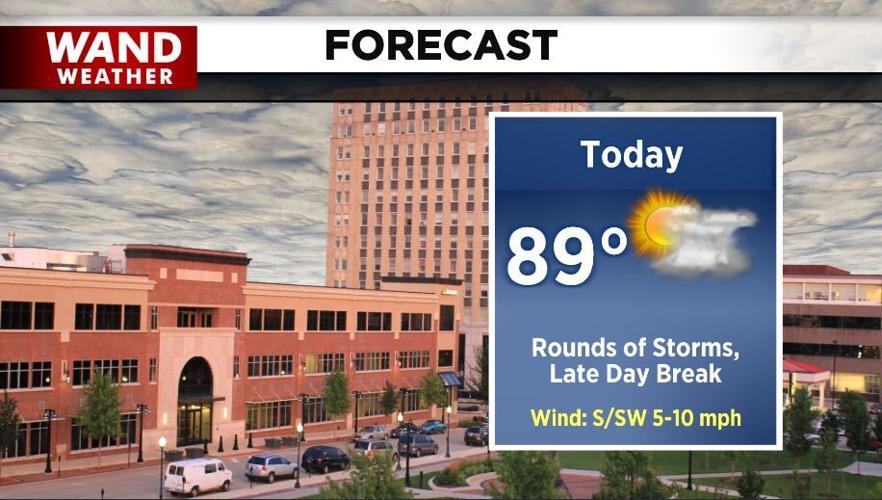
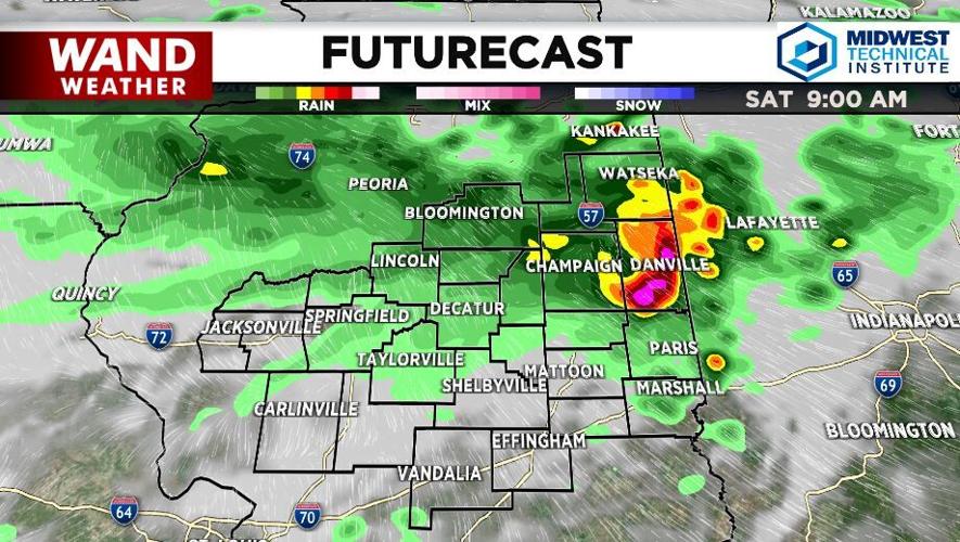

Heavy rain, leading to flash flooding in many spots, will be the weather story of the day. Rounds of storms continue through the morning bringing an additional half inch to one inch of rain across our communities. The heaviest rain and stronger storms should stay in our northern locations where we have seen most of that already develop this morning.

Later in the day, around the late-afternoon/early-evening timeframe, we should get a break before the next round of rain arrives. That break will allow temperatures to rise quickly, and with the humidity holding strong, the air will feel uncomfortable. The next round of rain arrives later tonight and stays with us through Sunday morning. With slower wind and plenty of moisture, we need to keep an eye on the fog potential for Sunday morning.

Saturday is not a washout. If you live in our northern communities, you will be dealing with rain for more of the day than our southern spots will, but don't cancel your plans just yet. Keep an eye on the radar before you decide. Remember, there's a free, interactive radar in your WAND Weather app. Even when we aren't live on your TV tracking the storms for you, you can see where they are and make plans for your day.


