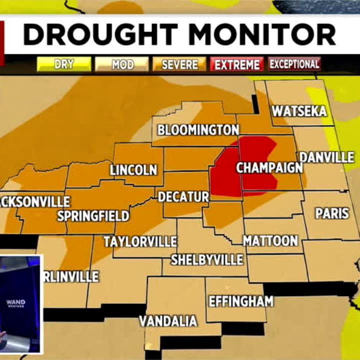

(WAND) - As parts of central Illinois clean up from Sunday's storms, more severe weather is in the forecast.
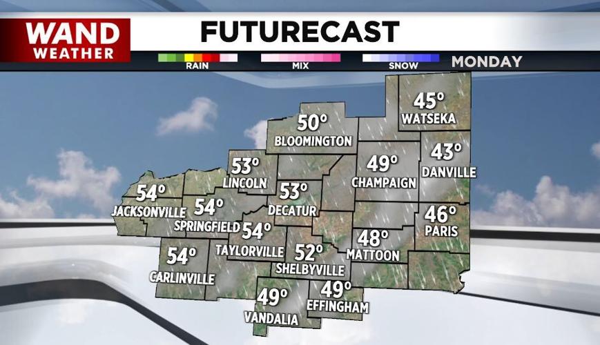
It'll be breezy and much cooler today with highs in the low-50s under a sun and cloud mix by afternoon.
Frosty conditions are expected Tuesday morning as the lows fall to around 30°. You'll want to bring those plants back in if you've already taken them outdoors.
Tuesday will be another quiet day with highs in the 50s.
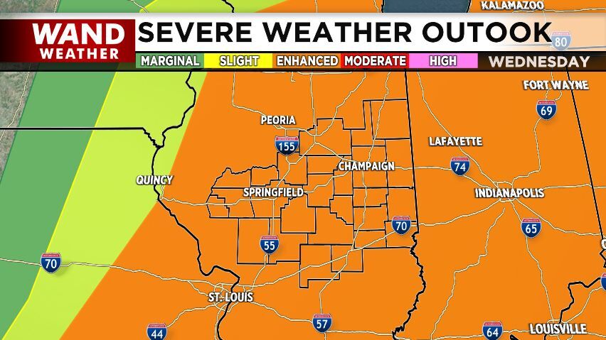
Another round of strong storms are possible Wednesday morning across our western hometowns and a more widespread severe weather outbreak is likely Wednesday afternoon.
We're under a level three (out of five) threat for damaging winds, large hail, and tornadoes.
Wet weather settles into Central Illinois late week into the weekend.
Meteorologist Anthony Peoples
Copyright 2025 WAND TV. All rights reserved.