DECATUR, Ill. (WAND) - The National Weather Service recently announced that its experimental Flood Inundation Mapping (FIM) tool is now serving 60% of the U.S. population. That's an increase of 30% in just a single calendar year.
The Midwest and Central Illinois were added in 2024 as part of another expansion to the tool.
Weather / Storm Coverage
Weather | Radar | Weather-Blog | SendIt
With high-resolution visualizations of flood waters, the FIM tool can be used by local NWS offices, such as our local NWS office in Lincoln, to help issue flood watches and warnings.
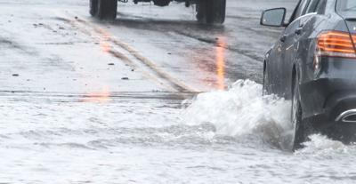
Flooding is the most frequent severe weather-related threat and remains the costliest natural disaster in the United States, according to NOAA.
The tool is available to the public and does not require any login and all data and GIS functionality is accessible without logging in.
The tool can be found online.
Copyright 2025. WAND TV. All rights reserved.


