

DECATUR, IL. (WAND) - A pleasant stretch of weather is settling into the region for the next few days as dry air and high pressure take over the Midwest. Expect comfortable conditions with low humidity — a refreshing change as we head into late July.
Wednesday through Thursday: Your Perfect Window
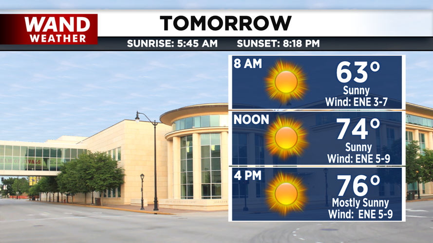
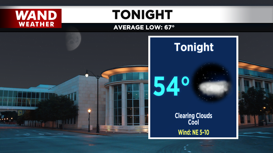
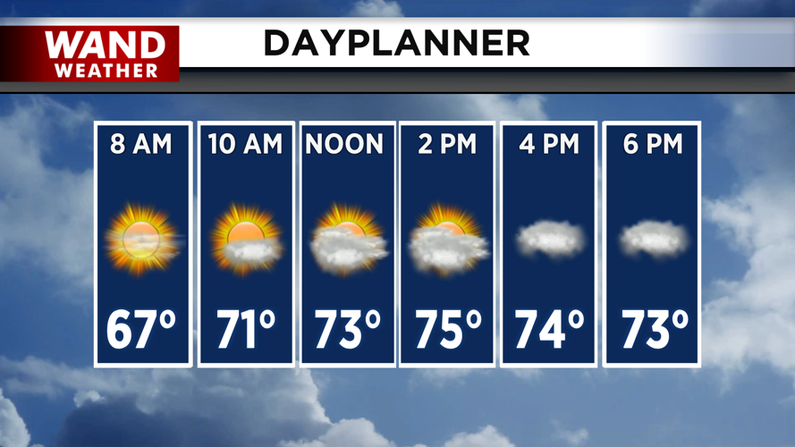
This afternoon, temperatures will reach the mid-to-upper 70s with clouds increasing throughout the day. Thursday will be even better, peaking in the mid-to-upper 70s — about 5 to 8 degrees cooler than typical for mid-July. Overnight lows will drop into the mid-to-upper 50s, offering that crisp, comfortable sleeping weather many of us crave during summer.
This is the time to plan outdoor activities, open your windows, and enjoy the low humidity. It won't last long.
Friday: Mostly Dry, Slight Storm Chance
Friday will remain mild with highs in the upper 70s, but moisture will begin returning to the area. A short-wave trough could bring showers and storms to Southwest Illinois Friday evening. While most of Central Illinois should stay dry, our far southwestern counties have a slight chance of showers and storms. If storms do develop in your area, heavy rain would be the main concern.
The Heat Returns This Weekend
The pleasant pattern ends as a ridge of high pressure expands eastward. Saturday will see temperatures jump into the mid-to-upper 80s as humidity levels creep back up with dewpoints rising into the upper 60s.
The real surge arrives Sunday and Monday. A warm front will lift north across the area, sending daytime highs easily into the low-to-mid 90s. But the heat index — what it actually feels like outside — will be the story. Paired with Gulf-seasoned moisture and dewpoints in the mid-to-upper 70s, peak afternoon heat indices are forecast to reach 105 degrees both Sunday and Monday.
Copyright 2026. WANDTV. All Rights Reserved.


