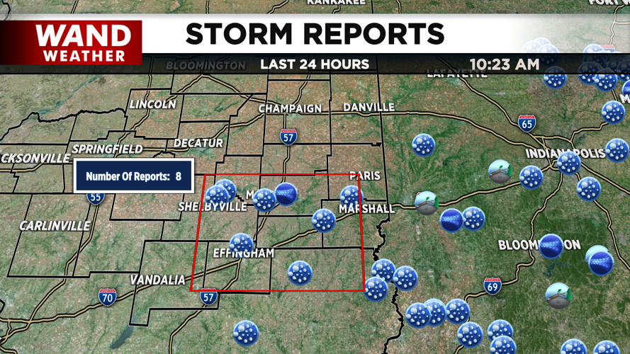
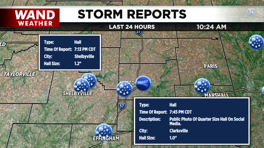
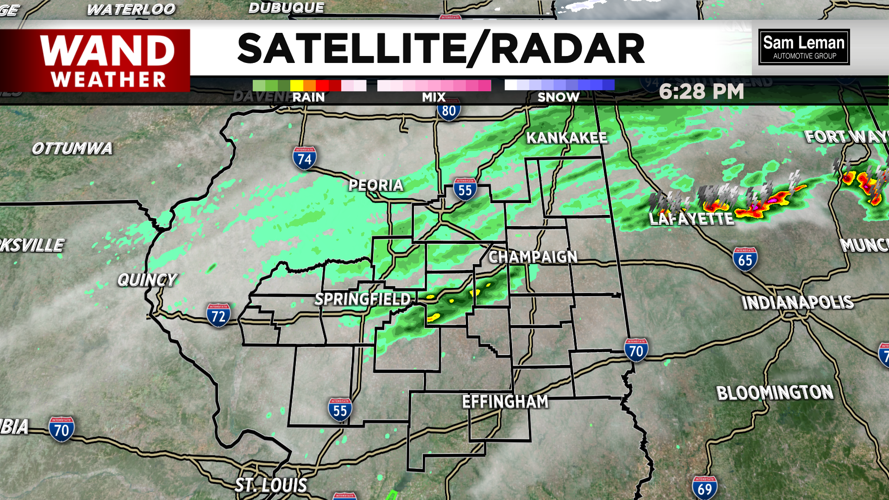
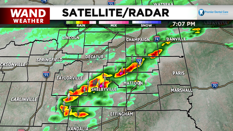


A line of storms on Sunday resulted in some severe thunderstorm warnings. Hail, strong winds, and lightning fell yesterday evening just after 6 pm.
The line of storms organized quickly south of the I-72 corridor. This initial line stretched from Southern Christian County through Champaign County. It became very organized very quickly once it reached the I-70 corridor.
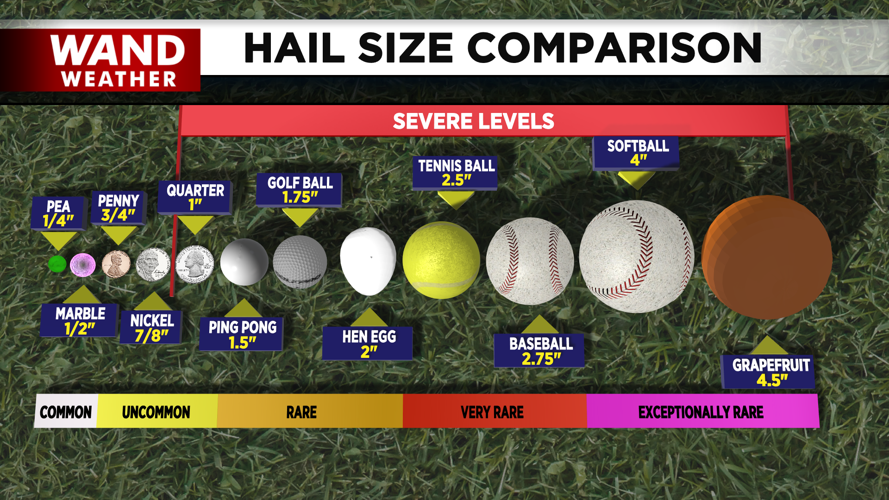
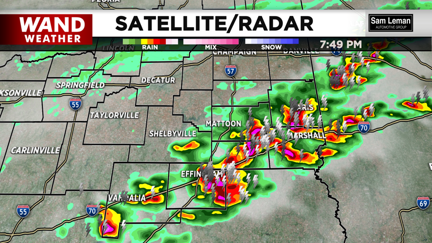
Heavy thunderstorms were seen in Coles, Shelby, Effingham, Douglas, Clark, Cumberland, and Edgar Counties. Hailstones of 1 inch were reported with these storms.
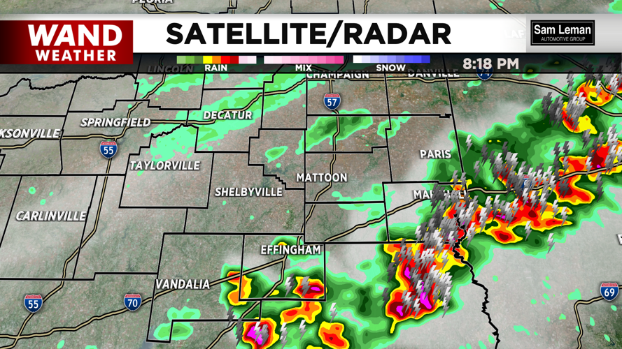
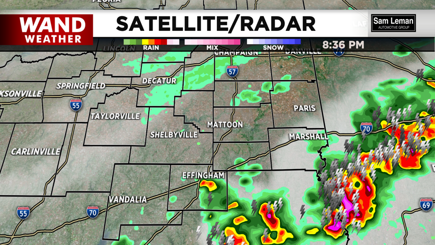
Rain totals were low as these storms moved off very quickly to the south and east. The biggest change behind these storms was the cold air that moved in. Temperatures were 30 degrees cooler on Monday morning.
The cold air will hang around through Tuesday morning before the warmer temperatures take over for the middle of the week. Temperatures will push into the 80s by Thursday, but another strong cold front will push the warm air out quickly. Another round of severe weather could impact us with those storms on Thursday, so stay weather aware as we move through the week.
Copyright 2026. WANDTV. All Rights Reserved.


