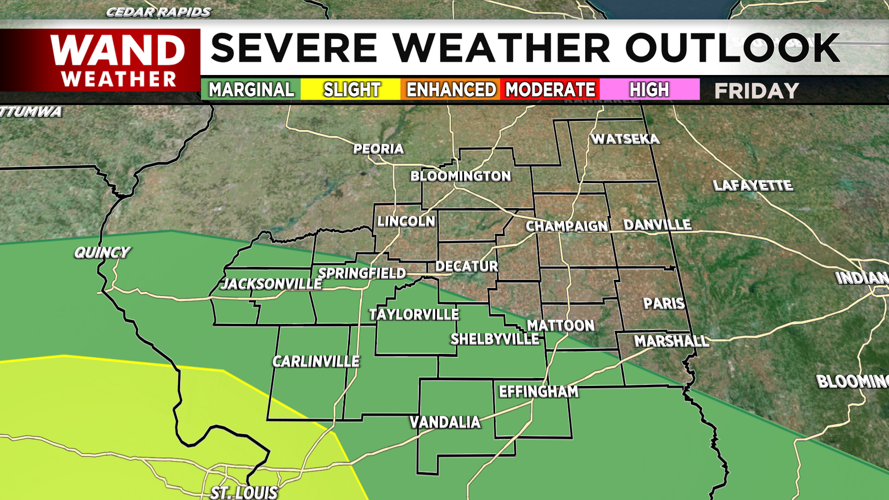
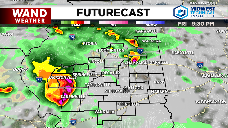


DECATUR, IL. (WAND) - Showers and thunderstorms will likely develop during the late afternoon and evening hours on Friday, with the greatest threat for strong to severe storms expected south of Interstate 72 through Friday night into Saturday morning.
The Storm Prediction Center has issued a marginal risk of severe storms from mid-afternoon into Friday evening across central and southeast Illinois, with a slight risk further southwest near the St. Louis metro area.
What to Expect:
Damaging winds are the primary threat with these storms, though hail is also possible. Locally heavy rainfall of 1.5 to 3 inches is possible in just 1-2 hours across central and southeast Illinois, which could lead to localized flooding.
Storms will likely continue overnight into Saturday, mainly south of I-72. A frontal boundary will push into southern Illinois on Saturday, keeping chances of showers and thunderstorms from I-72 south.
Temperature and Humidity:
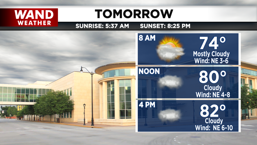
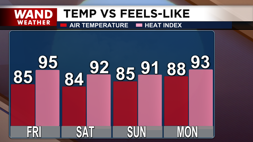
Temperatures this afternoon will reach the upper 80s, but humidity will make it feel like the mid-90s. Overnight lows will drop into the upper 60s.
This weekend will be cooler, with highs in the mid-80s and feels-like temperatures in the upper 80s — a relief compared to last week's oppressive heat wave. A warming trend begins next week, though humidity levels are expected to remain more comfortable than recent conditions.
Patchy fog is developing over portions of central and west-central Illinois on Friday morning due to clear skies and light winds.
Copyright 2026. WANDTV. All Rights Reserved.