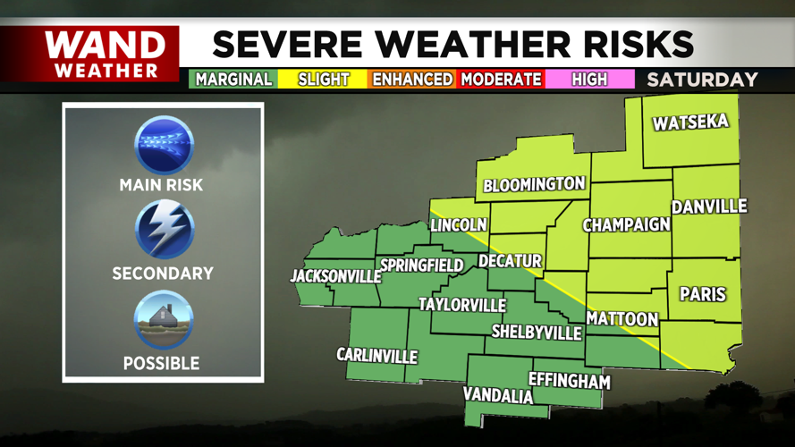

DECATUR, IL. (WAND) - Happy Saturday! We are kicking off the weekend with sunshine, but a cold front arrives this evening to change up the warm and relatively quiet weather pattern we’ve seen this week.


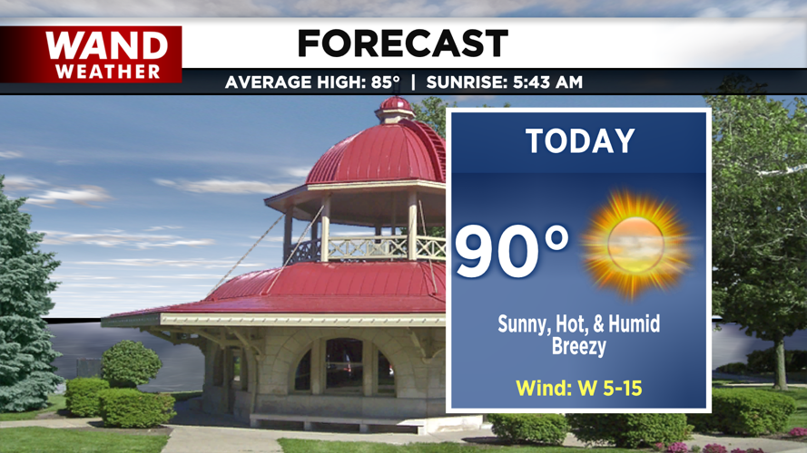
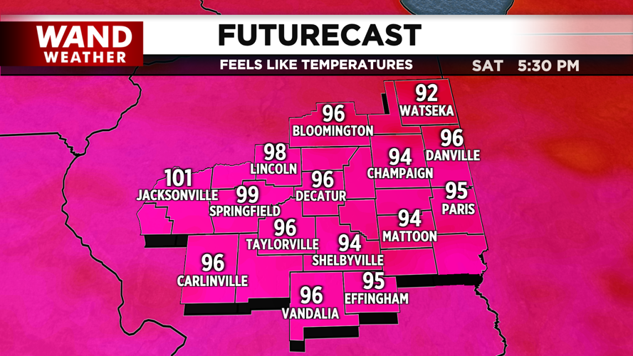
We’ll start the day with plenty of sunshine. Between our placement behind a distant warm front, and breezy winds out the west, warmer air will be ushered in this afternoon with highs peaking around 90 degrees. However, the humidity and sunshine on top of those air temperatures will leave us feeling closer to 100. Do what you can to stay cool.

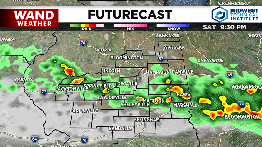
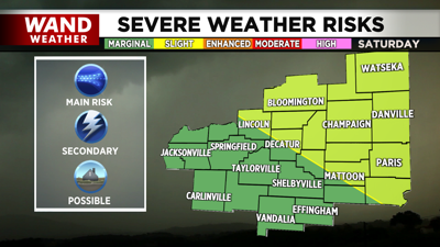
Clouds arrive by the late afternoon, and by dinnertime (5/6pm) the first of our showers and storms will begin moving through, sweeping from north to south. A few severe thunderstorms are expected here, with strong gusty winds and heavy downpours possible.

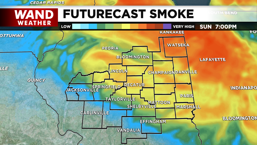
These showers will taper off overnight, and behind the cool front, we dry out and cool down. Temperatures tomorrow top off in the mid 80s, and it will be significantly less muggy. However the passage of the front will also allow smoke from Canadian wildfires to move in. This may create a hazy sky across our otherwise sunny day.
Stay weather aware, and pay attention to air quality alerts heading into the start of the week.
Copyright 2026. WANDTV. All Rights Reserved.


