
DECATUR, IL. (WAND) - Happy Thursday! Today has been a much-needed break from the severe storms that rolled across our area last night.
A pleasant day has shaped up to begin the cleanup for those areas that were hit hardest. The National Weather Service has begun its damage surveys to determine the strength of the tornadoes that touched down in Effingham and Coles Counties, and damage elsewhere across central Illinois.

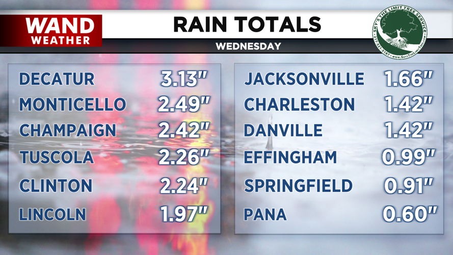
Outside of the damage, rainfall was also a concern, as flood warnings were issued with the storm last night. The majority of those have since expired. Areas to the northeast saw the bulk of the rain, including three inches in Decatur and 2.5” in places such as Monticello and Champaign.

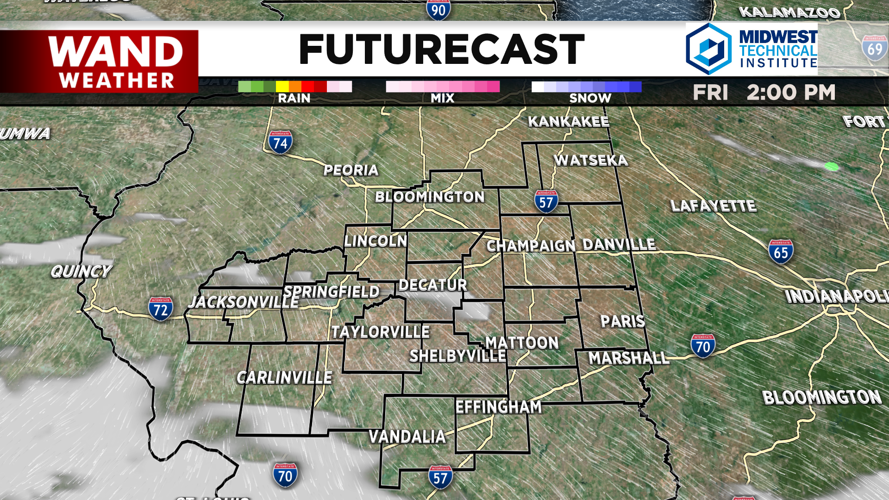
Thankfully, we are starting a pretty calm stretch of weather ahead for central Illinois heading into the weekend. Saturday looks to stay dry, but our next chance for some rain showers returns Sunday. Thunderstorm activity is possible, but it is unlikely that severe storms will return with this system.
Copyright 2026. WANDTV. All Rights Reserved.


