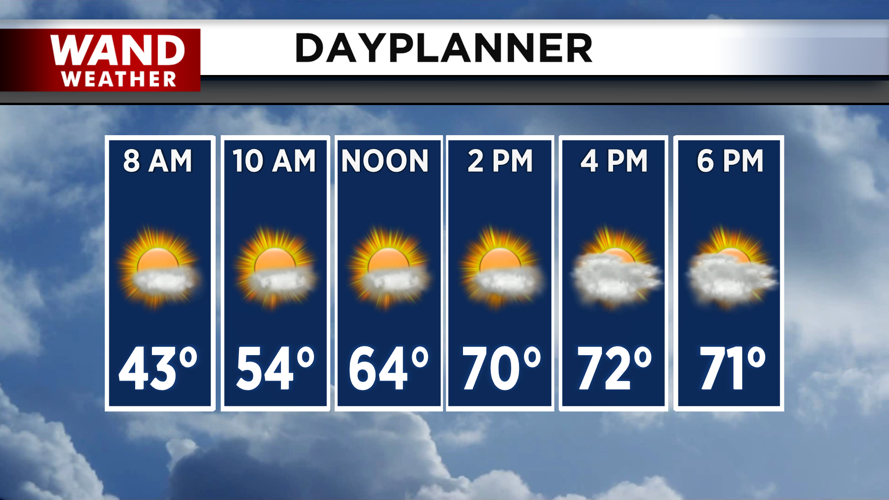


DECATUR, IL. (WAND) - Happy Wednesday! Temperatures have stayed mild overnight in the 40s and upper 30s. Temperatures will be much warmer for the next two days compared to the start of the week. Winds from the southwest will bring in warm, moist air. Expect high temperatures to hit the 70s this afternoon with a mix of sun and clouds.
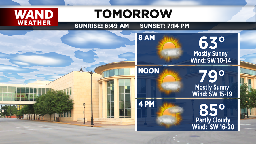
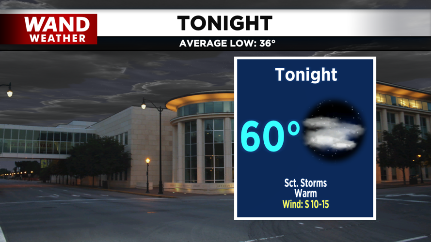
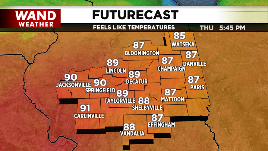
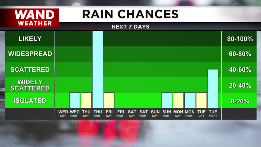
A weak warm front will move through overnight. This will keep temperatures very warm in the 60s. It could also trigger a few scattered showers and storms. This will usher in a significant warming trend for Thursday. High temperatures will climb quickly into the mid to upper 80s for the afternoon. This will shatter daytime high records and could break the hottest temperatures we have ever seen in March.
The heat will be short-lived as a cold front moves in on Thursday night. This will trigger rounds of showers and storms from about 8 pm through early Friday morning. The severe concerns with this setup are mainly hail and wind. The biggest impact will be on temperatures. Overnight lows will drop about 50 degrees, and we will wake up on Friday morning in the 30s.
Temperatures will be much cooler for the weekend with highs in the 50s and 60s.
Copyright 2026. WANDTV. All Rights Reserved.


