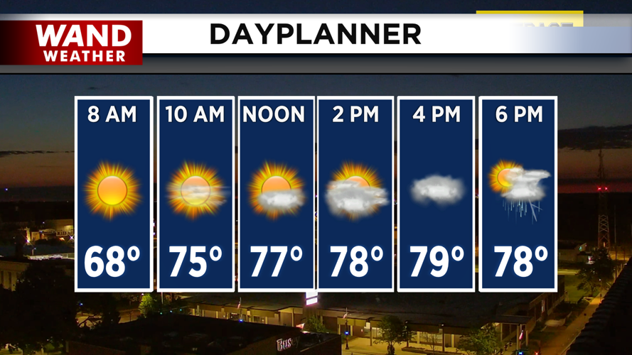
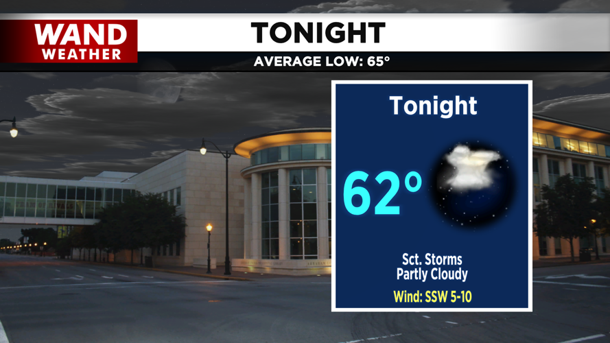


DECATUR, IL. (WAND) - Happy Wednesday! There is an unsettled pattern moving in for the rest of the week as heat and humidity build into the region. Temperatures will push into the low 80s this afternoon, with humidity making it feel a bit warmer. Isolated thunderstorms will move across the region this afternoon and evening. These will be very hit or miss, so most of the area won’t see much rain. Temperatures will cool down into the low 60s overnight into Thursday.
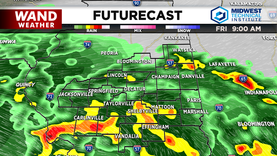
Thursday will be a repeat of today, with temperatures warming up into the low 80s by the afternoon, with another round of hit or miss storms. Another system will move into the region overnight Thursday into Friday. This will bring in much heavier and widespread rain chances. Some storms will be strong, but severe storms aren’t expected at this time.
Storms will hang around through the afternoon on Friday before things clear out for the overnight hours. Hot and muggy conditions will take over for the weekend. Afternoon high temperatures will be in the mid-80s on Saturday with mostly cloudy skies. Sunday will usher in the real Summer heat as the 90s return. Above-average temperatures will hang around through the middle of next week.
Copyright 2026. WANDTV. All Rights Reserved.


