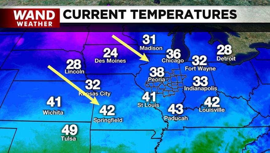


DECATUR, Ill. (WAND) - Winter weather came back Thursday night with a quick dose of snow. However, that snow was in advance of a warm front that allowed temperatures to rebound into the upper 30s and low 40s earlier Friday.
Enter Friday night, and our latest cold front.
Colder weather moves back in under the cover of darkness. If that weren't enough, a mix of rain, sleet and snow showers turns to all snow showers before tapering off overnight. The quick burst of precipitation can bring a small accumulation in spots with slippery travel. Then there is the temperature problem. As the night wears on, temperatures fall below freezing. Any snow shower that was melting earlier can now accumulate and create a black ice scenario if there is initial melting on untreated surfaces.
The silver lining may be the gusty wind that will aid in drying area pavement. This is the same wind that will produce feelslike temperatures in the teens and single digits to start off Saturday.
Bottom line: stay safe, stay weather-aware and stay warm out there.
Copyright 2026. WANDTV. All Rights Reserved.


