

(WAND) - The bitter cold eases briefly across central Illinois.
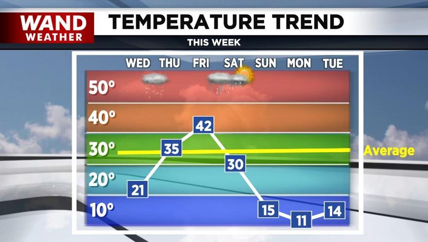
After early morning lows mostly from zero to -10° Wednesday morning, sunshine today will warm us into the low-20s.
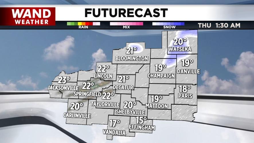
Temperatures drop off quickly this evening to around 10° to 15° and then start rising on increasing southwesterly winds. A few snow flurries are possible northeast overnight.

Thursday will be much warmer in the mid-30s with fog and freezing fog possible Friday morning. Friday will be the coldest day of the next seven days with highs in the low-40s!
Rain moves in Friday night and will likely end as snow Saturday morning.
Much colder air returns this weekend into early next week.
Highs Sunday through Tuesday will mostly be in the teens. Overnight lows will be in the single digits above and below zero.
Monday will be the coldest day.
Meteorologist Anthony Peoples
Copyright 2025 WAND TV. All rights reserved.


