
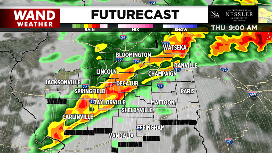
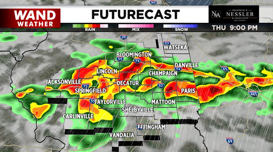
(WAND) - More severe weather is possible across Central Illinois later today.
The first round this morning brought hail and strong winds and a few severe thunderstorm and tornado warnings. Those storms are well off to the east now.
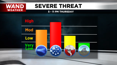
Another round of strong to severe storms are possible between 4-8 p.m. Along with damaging winds and large hail, a few tornadoes are possible.

Skies become partly sunny Friday and it'll be much cooler with highs in the 50s.
Saturday will be very windy and mild with highs in the low-60s.

A strong cold front will bring colder conditions Sunday into early next week.
Highs will be in the 40s Sunday through Tuesday with overnight lows in the 20s.
A hard freeze is likely Sunday night and Monday night.
Meteorologist Anthony Peoples
Copyright 2024 WAND TV. All rights reserved.


