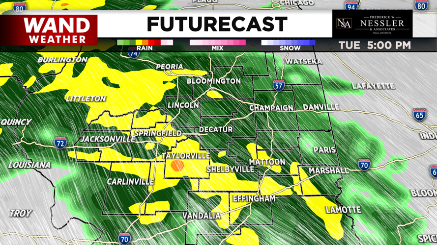


(WAND) - The first round of hit and miss showers with storms has been moving across western portions of central Illinois during the overnight hours into this morning.
Another round of rain with a few storms possible is expected for this afternoon and evening.
Temperatures for today will climb into the upper 50s. Winds for today will be mainly from the south up to 25 mph, which could produce gusts up to 40 mph.
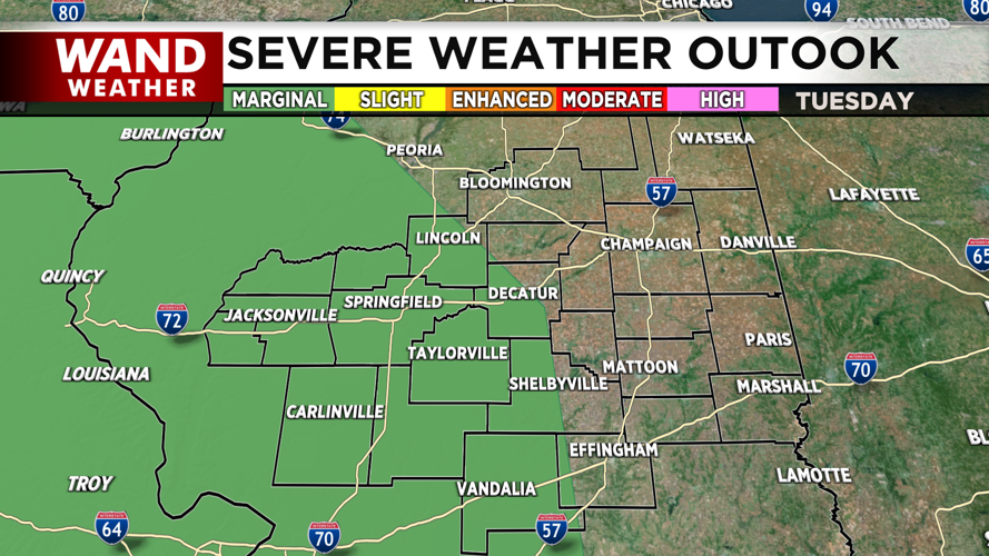
SPC has placed the western half of Central Illinois under a Level 1 (Marginal) risk for severe weather for today; with the main concern being large hail.
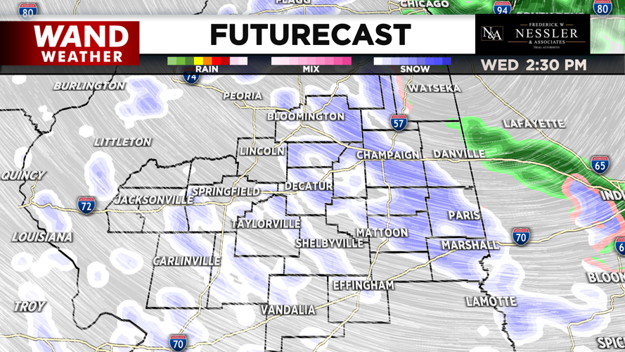
Periods of rain will continue for tonight, with Wednesday's high temperature occurring just after midnight around 50°.
Temperatures will begin to fall throughout the morning into the afternoon into the 30s.
The rain will gradually transition to snow across the area as early as midday, before tapering off in the evening.

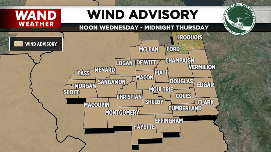
Also, Wednesday will be the windiest day with a Wind Advisory in effect for almost all of the entire region from noon to midnight. Sustained westerly winds can reach up to 30 mph, while producing gusts up to 55 mph.
The winds will gradually subside throughout Wednesday night into Thursday morning.

Thursday will be a quiet day with mostly sunny skies & highs in the mid 40s. However, another system arrives Thursday night bringing a wintry mix. The wintry mix will continue into Friday, with snow focusing towards northern areas while rain is mostly towards the south.

The weekend will consist of plenty of sunshine, with highs in the upper 40s, with temperatures warming towards 60° on Monday, while keeping the sunshine intact.
Meteorologist Ulises Garcia
Copyright 2025 WAND TV. All rights reserved.


