CENTRAL ILLINOIS - Winter Weather Preparedness week continues and today's topic is snow and ice.
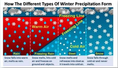
Winter storms can provide several forms of precipitation, from rain to snow to ice. Here is how it works....

Rain: Snow falls into warm air and melts into rain.
Freezing Rain: Snow falls from the cloud and enters an area of warm air and melts into a rain drop. When the supercooled drops strike the frozen ground (power lines, or tree branches), they instantly freeze, forming a thin film of ice, hence freezing rain.
Sleet: Snow falls from the cloud and then passes through a shallow area of warm air. The snowflake melts and then falls back into cold air refreezing the water droplet into a sleet pellet. When the sleet strikes the ground they typically bounce on impact.
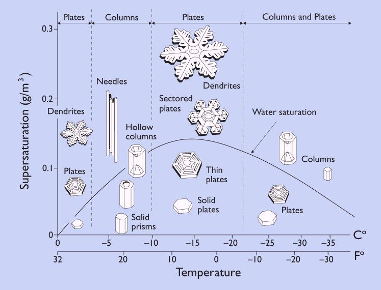
Snow: The whole atmospheric column is cold enough to support frozen precipitation in the form of snow. Moisture content and temperatures will determine the type of snowflake that will fall.
Here are a few more facts about snow and ice:

You can find more information by visiting the National Weather Service Lincoln homepage by clicking here!


