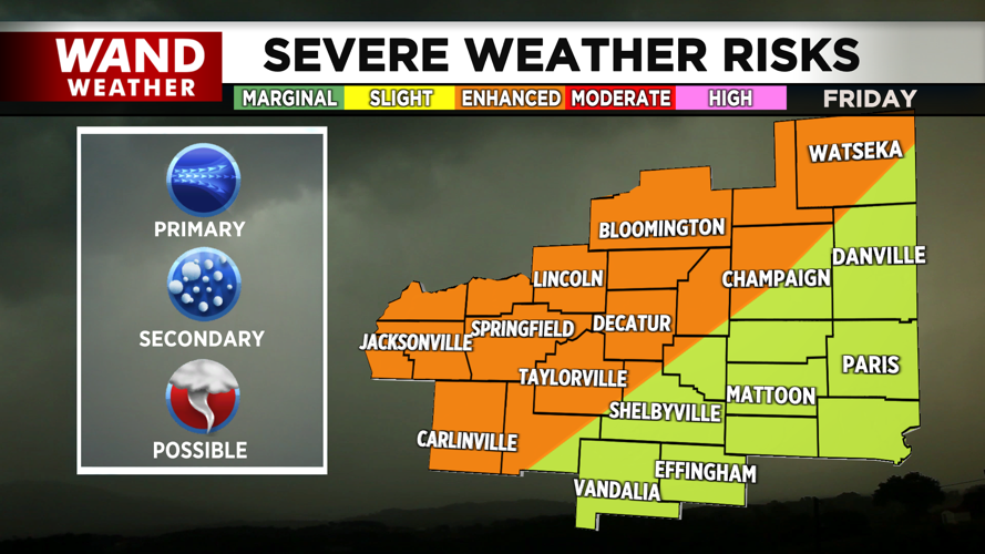
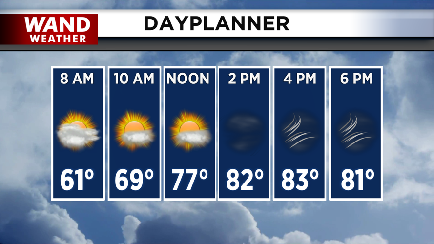
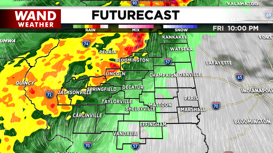


DECATUR, IL. (WAND) - Happy Friday! It was a beautiful afternoon yesterday with temperatures in the 70s and low humidity. Today will be a bit different as temperatures soar into the 80s with strong winds out of the south. A strong low-pressure system will trigger isolated strong storm cells over Western Illinois through the afternoon and evening. These cells could produce all modes of severe weather, and will need to be monitored closely through the evening.
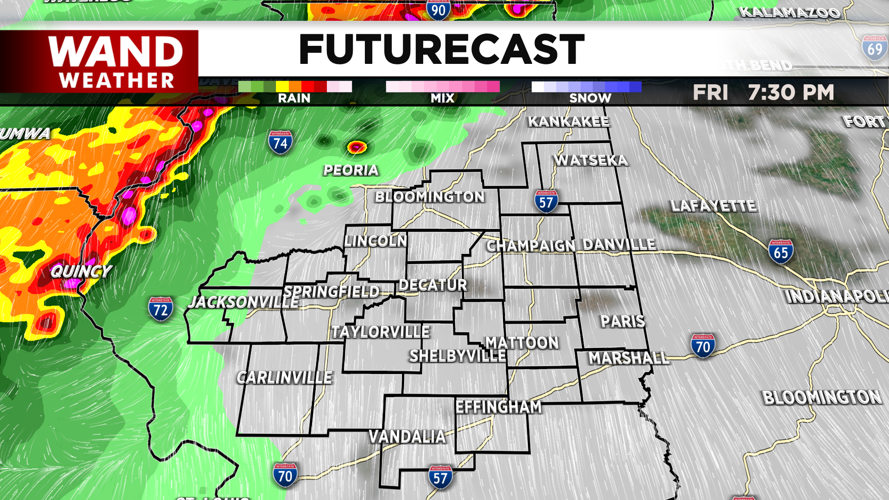
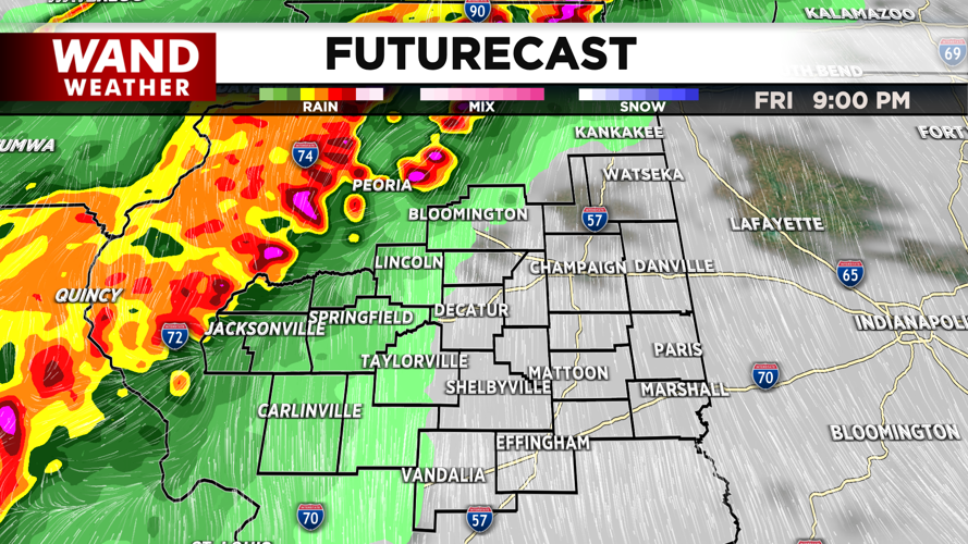
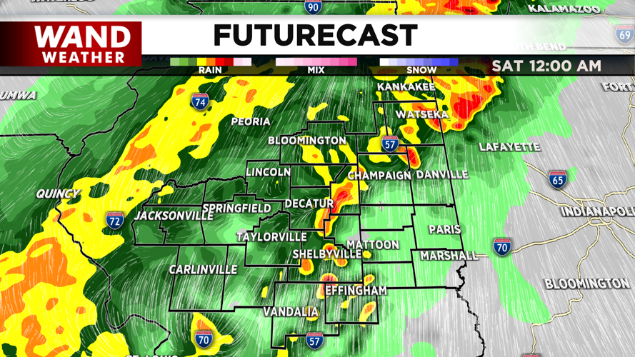
An approaching cold front will be the trigger for more storms overnight. Models are indicating that the storms will ramp up after 8 pm. These will produce heavy rain, and some flash flooding can’t be ruled out. Some hail and very strong winds will also be associated with this line of storms.
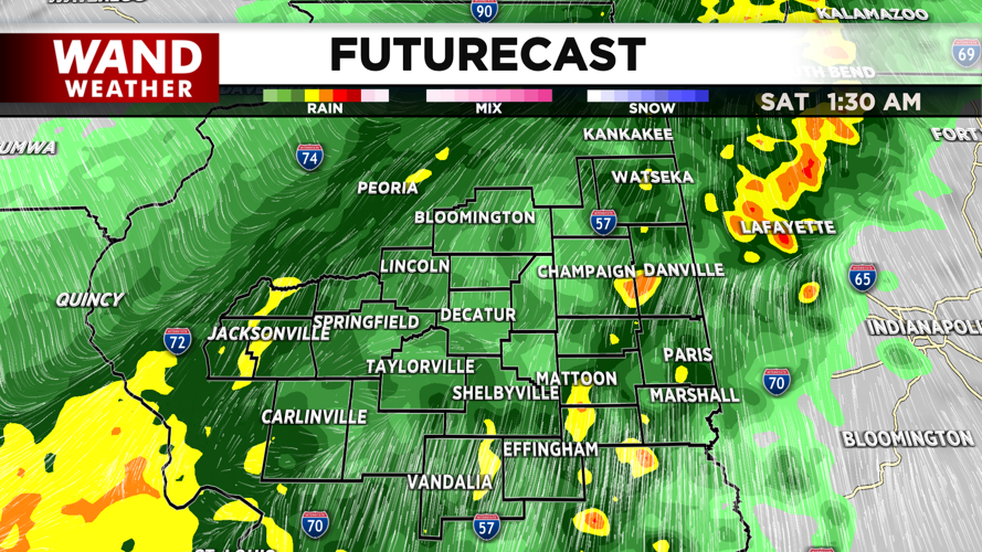
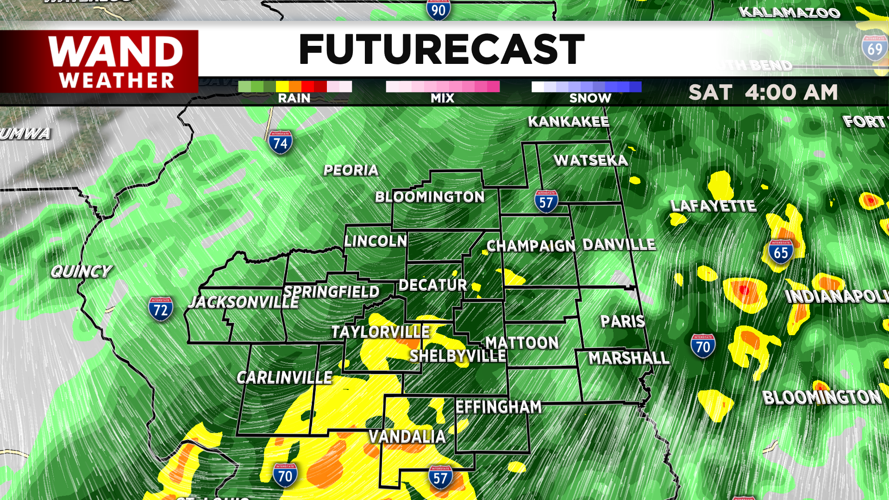
Showers will linger into early Saturday morning, but the severe threat will wrap up around midnight. The cold front will move south, and east of Central Illinois, and this will allow temperatures to drop into the 40s and 50s for most of the day. Frost chances return overnight Saturday into Sunday morning as temperatures drop into the low 30s.
Next week is looking much cooler and calmer with abundant amounts of sunshine. Have a great weekend!
Copyright 2026. WANDTV. All Rights Reserved.


